Enable Location

We need your location to show you interesting places around you

Discover nearby places

Find interesting locations and hidden gems around you

Precise directions

Get accurate directions and distances to places

Your location is never shared with other users. It's only used when you tap the location button.

Pentland Firth

Log in to your account

Start exploring — it's free

Trusted by 70,024 travelers worldwide

Continue with Google
Continue with Apple
or

We will send you a code to connect

By continuing, you accept our Terms and Conditions and our Privacy Policy

Check your inbox

We've sent a pincode in your inbox. Please enter the code below.

Pentland Firth
Discussion Reviews 1 Photos
23.6k Popularity

Pentland Firth, Maritime strait between Orkney Islands and mainland Scotland.

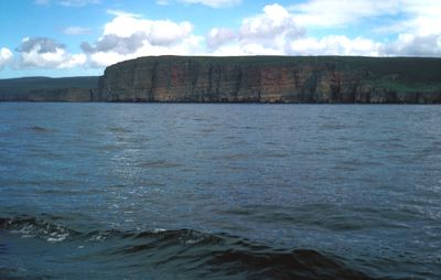
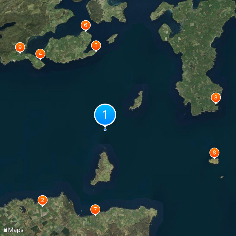
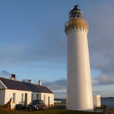
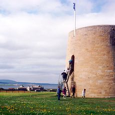
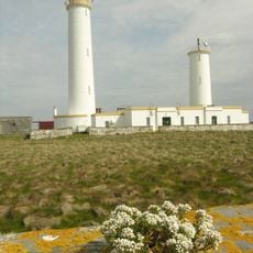
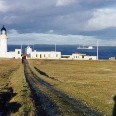
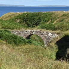
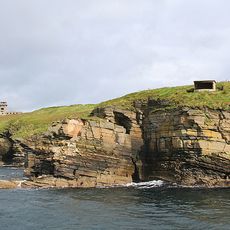
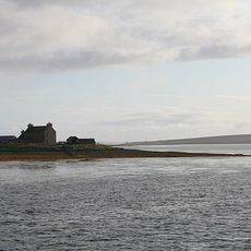
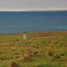
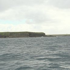
The Pentland Firth is a strait between the Orkney Islands and mainland Scotland, stretching from Dunnet Head to Duncansby Head. Two uninhabited islands, Stroma and Swona, sit within these waters alongside prominent lighthouses that guide navigation.

Norse settlers named the strait Petlandsfjörð, taking the name from the Pictish people who inhabited the region before their arrival. This naming shows how northern peoples incorporated the earlier inhabitants into their own language and geography.

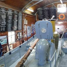
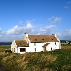
The waterway remains important to local fishing communities, where people have long worked with the sea and passed down their maritime knowledge. You can still see how fishers approach their work today, shaped by respect for the powerful currents.

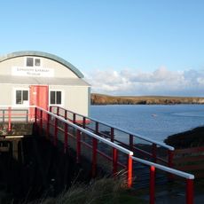
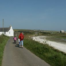
Visitors can cross between mainland Scotland and the Orkney Islands by ferry, with regular services providing the main transportation link. The crossing can be rough during bad weather, so watch for calm conditions and prepare for the motion of the sea.

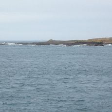
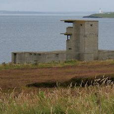
The strait generates some of Earth's fastest tidal currents, which can reach speeds of about 15 knots. These swift flows hold substantial potential for tidal energy generation and have made it a focus for renewable energy research.

The community of curious travelers

AroundUs brings together thousands of curated places, local tips, and hidden gems, enriched daily by 60,000 contributors worldwide.

Start exploring
Location
Part of
Atlantic Ocean
GPS coordinates
58.71600,-3.11500
Latest update
December 20, 2025 13:56
Around this place
Castle of Mey
United Kingdom

Castle of Mey

10 km
Tomb of the Eagles
United Kingdom

Tomb of the Eagles

11.5 km
RNLB Thomas McCunn
United Kingdom

RNLB Thomas McCunn

9.6 km
Cantick Head Lighthouse
United Kingdom

Cantick Head Lighthouse

8 km
Hackness Martello Tower and Battery
United Kingdom

Hackness Martello Tower and Battery

10.2 km
Canisbay Parish Church
United Kingdom

Canisbay Parish Church

8.7 km
Pentland Skerries High Light
United Kingdom

Pentland Skerries High Light

11.4 km
Melsetter House, Hoy
United Kingdom

Melsetter House, Hoy

11.5 km
Stroma Lighthouse
United Kingdom

Stroma Lighthouse

2.2 km
Duncansby Head Lighthouse
United Kingdom

Duncansby Head Lighthouse

9.6 km
Banks tomb
United Kingdom

Banks tomb

10.4 km
Chambered Cairn on the Tarf
United Kingdom

Chambered Cairn on the Tarf

3.7 km
Swona Lighthouse
United Kingdom

Swona Lighthouse

3.3 km
John O'Groats Mill, Bridge
United Kingdom

John O'Groats Mill, Bridge

8.3 km
Pentland Skerries Low Light
United Kingdom

Pentland Skerries Low Light

11.4 km
Hoy, Walls, Longhope Lifeboat Station
United Kingdom

Hoy, Walls, Longhope Lifeboat Station

9.6 km
South Ronaldsay, St Mary's Church
United Kingdom

South Ronaldsay, St Mary's Church

8.9 km
Stanger Head Battery,Stanger Head
United Kingdom

Stanger Head Battery,Stanger Head

11.4 km
Stromabank Hotel, anti-aircraft battery, radar site and camp 150m NW of
United Kingdom

Stromabank Hotel, anti-aircraft battery, radar site and camp 150m NW of

9.4 km
Quoy Farmhouse, South Walls, Hoy
United Kingdom

Quoy Farmhouse, South Walls, Hoy

9.2 km
Parish Church Of St Columba, Longhope, Hoy
United Kingdom

Parish Church Of St Columba, Longhope, Hoy

10.3 km
Ship Inn, North Ness, Hoy
United Kingdom

Ship Inn, North Ness, Hoy

11.2 km
South Walls, Kirkhope Burial Ground, Moodie Burial Place
United Kingdom

South Walls, Kirkhope Burial Ground, Moodie Burial Place

8.3 km
Canisbay Parish Church, Churchyard
United Kingdom

Canisbay Parish Church, Churchyard

8.7 km
Clouduhall (or Cloddyhall) standing stone & cairn
United Kingdom

Clouduhall (or Cloddyhall) standing stone & cairn

11.4 km
Innan Neb, coast batteries, barrage balloon site and camp
United Kingdom

Innan Neb, coast batteries, barrage balloon site and camp

11 km
Milestone To North East Of Morven, Longhope, South Walls, Hoy
United Kingdom

Milestone To North East Of Morven, Longhope, South Walls, Hoy

10.3 km
South Ronaldsay, Castle of Burwick
United Kingdom

South Ronaldsay, Castle of Burwick

8.4 km
Show the full map
Reviews
Share your experience

No review yet

Discussions
Start a discussion...

No discussion yet

« Pentland Firth - Maritime strait between Orkney Islands and mainland Scotland » is provided by Around Us (aroundus.com). Images and texts are derived from Wikimedia project under a Creative Commons license. You are allowed to copy, distribute, and modify copies of this page, under the conditions set by the license, as long as this note is clearly visible.

Discover hidden gems everywhere you go!

From secret cafés to breathtaking viewpoints, skip the crowded tourist spots and find places that match your style. Our app makes it easy with voice search, smart filtering, route optimization, and insider tips from travelers worldwide. Download now for the complete mobile experience.

Around Us App Screenshot

A unique approach to discovering new places

Le Figaro

All the places worth exploring

France Info

A tailor-made excursion in just a few clicks

20 Minutes

Around Us
Travel Guide & Maps
Download

Send to your phone

QR Code
1

Open the camera app on your mobile.

2

Point at the QR code with your camera. A notification will appear.

3

Tap the notification to open the link.