
Inkpen, village and civil parish in Berkshire, UK
Location: West Berkshire
Website: http://inkpen-village.co.uk
GPS coordinates: 51.37700,-1.46800
Latest update: March 9, 2025 19:35

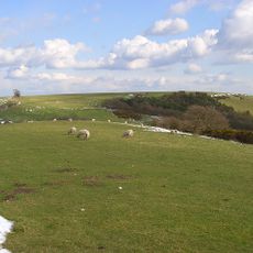
Walbury Hill
2.7 km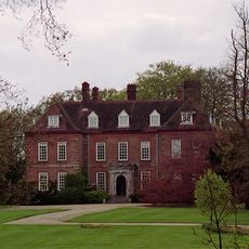
West Woodhay House
1.8 km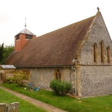
Church of St Michael
1.5 km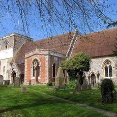
Church of St Mary
2.9 km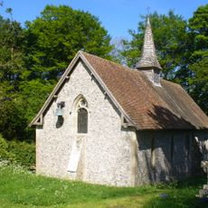
Church of St James
4.3 km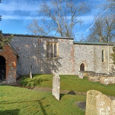
Church of St Swithin
3.6 km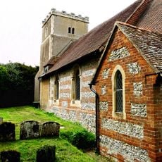
Church of All Saints
4.4 km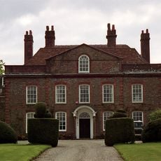
Kirby House
1.2 km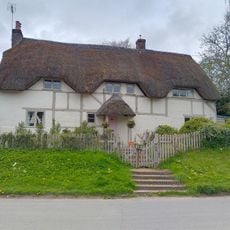
Well Cottage
4.2 km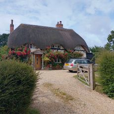
Brays Cottage
884 m
Kintbury War Memorial
2.9 km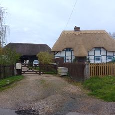
Barn At Belvedere
1.1 km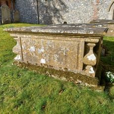
Whistler Tomb, 5 Metres South Of South Door To Chancel
3.6 km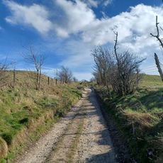
Walbury Camp
2.6 km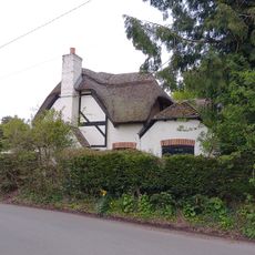
Cruck Cottage
1.1 km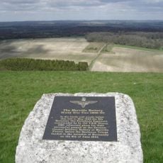
Merville Battery Memorial
2.3 km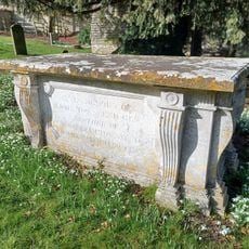
Townsend Tomb, 1 Metre North West Of Rawlinson Tomb
3.6 km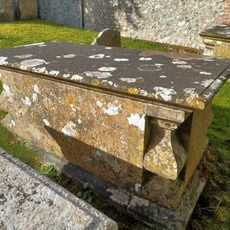
Whistler Tomb, 3 Metres South Of South Door To Chancel
3.6 km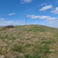
Long barrow at Combe Gibbet, Gallows Down.
2.2 km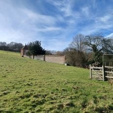
Walls Around Garden At West Of Manor Farm House
3.6 km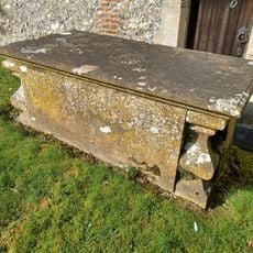
Whistler Tomb, 1 Metre South Of South Door To Chancel
3.6 km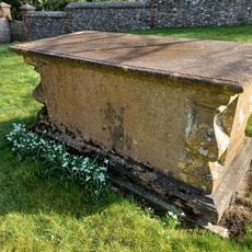
Whistler Tomb, 20 Metres South Of South Door To Chancel
3.6 km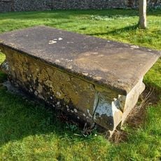
Whistler Tomb, 20 Metres South Of South Door Of Chancel
3.6 km
Wansdyke, section 530yds (490m) on W side of Old Dyke Lane
2 km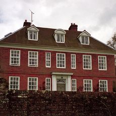
Inkpen House
1.5 km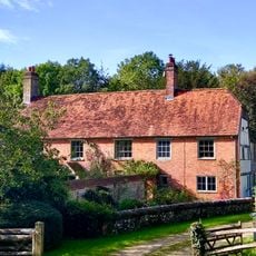
Wrights Farm House
2.9 km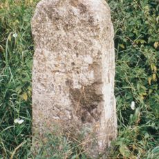
Milestone 250 Metres North Of Hollytree Cottage
4.4 km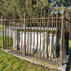
Rawlinson Tomb, 9 Metres South Of South Porch
3.6 kmVisited this place? Tap the stars to rate it and share your experience / photos with the community! Try now! You can cancel it anytime.
Discover hidden gems everywhere you go!
From secret cafés to breathtaking viewpoints, skip the crowded tourist spots and find places that match your style. Our app makes it easy with voice search, smart filtering, route optimization, and insider tips from travelers worldwide. Download now for the complete mobile experience.

A unique approach to discovering new places❞
— Le Figaro
All the places worth exploring❞
— France Info
A tailor-made excursion in just a few clicks❞
— 20 Minutes