Walbury Hill, Summit in Combe, United Kingdom
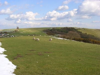
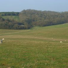
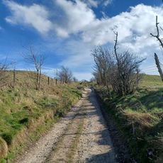
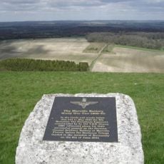
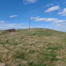
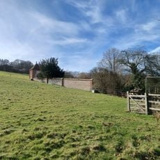
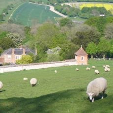
Walbury Hill is the highest point in South East England, rising to 297 meters as a chalk summit with distinctive slopes visible across the landscape. A triangulation pillar marks the peak in an open, sheep-grazed field that provides clear views down to the Kennet Valley below.
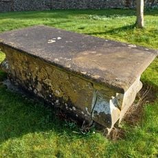
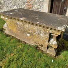
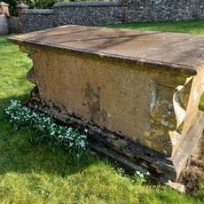
The summit was fortified around 2500 years ago with an Iron Age hillfort called Walbury Camp, reflecting its strategic importance in ancient times. Archaeological evidence shows that people settled and used this location continuously over thousands of years.
Sheep graze across the slopes as they have for centuries, maintaining a pastoral landscape that connects the present to traditional agricultural ways. The grazing herds are part of how locals and visitors experience the summit and its surroundings today.
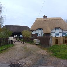
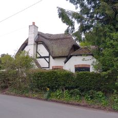
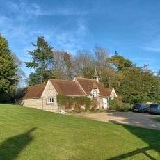
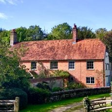
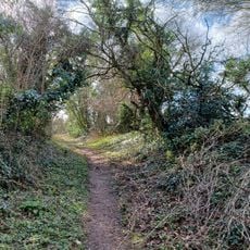
Several car parks near the fort provide easy access, with walking trails that approach the summit from different directions and routes. The open terrain makes navigation straightforward, though wind can be strong at the top and weather changes quickly on this exposed hillside.
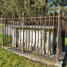
Ancient burial mounds and barrows are scattered across the summit field, evidence of human use long before the Iron Age fort was built on this hilltop. These earthen mounds can be easy to overlook while walking, but they reveal that the location held meaning for people thousands of years earlier.
Location: Combe
Elevation above the sea: 297 m
GPS coordinates: 51.35246,-1.46505
Latest update: December 7, 2025 20:21
West Woodhay House
2 km
Hog's Hole
2.1 km
Combe Wood and Linkenholt Hanging
2.7 km
Church of St Michael
2.7 km
Church of St Peter
3.7 km
Church of St James
3.1 km
Church of St Swithin
1 km
Church of St Martin
3.2 km
Kirby House
1.6 km
Brays Cottage
1.9 km
Whistler Tomb, 5 Metres South Of South Door To Chancel
1 km
Barn At Belvedere
2.9 km
Walbury Camp
181 m
Cruck Cottage
2.9 km
Old School
3.7 km
Merville Battery Memorial
513 m
Townsend Tomb, 1 Metre North West Of Rawlinson Tomb
1 km
Whistler Tomb, 3 Metres South Of South Door To Chancel
1 km
Long barrow at Combe Gibbet, Gallows Down.
1.1 km
Walls Around Garden At West Of Manor Farm House
1.1 km
Whistler Tomb, 20 Metres South Of South Door Of Chancel
1 km
Whistler Tomb, 1 Metre South Of South Door To Chancel
1 km
Whistler Tomb, 20 Metres South Of South Door To Chancel
1 km
Wrights Farm House
699 m
Wansdyke, section 530yds (490m) on W side of Old Dyke Lane
3.1 km
Garden House At Manor Farm In South West Corner Of Garden Wall
1.1 km
Inkpen House
2.6 km
Rawlinson Tomb, 9 Metres South Of South Porch
1 kmReviews
Visited this place? Tap the stars to rate it and share your experience / photos with the community! Try now! You can cancel it anytime.
Discover hidden gems everywhere you go!
From secret cafés to breathtaking viewpoints, skip the crowded tourist spots and find places that match your style. Our app makes it easy with voice search, smart filtering, route optimization, and insider tips from travelers worldwide. Download now for the complete mobile experience.
A unique approach to discovering new places❞
— Le Figaro
All the places worth exploring❞
— France Info
A tailor-made excursion in just a few clicks❞
— 20 Minutes