
Hatton, village and civil parish in South Derbyshire district, Derbyshire, England
Location: South Derbyshire
Shares border with: Church Broughton, Foston and Scropton, Hoon
GPS coordinates: 52.86700,-1.68000
Latest update: March 8, 2025 18:05
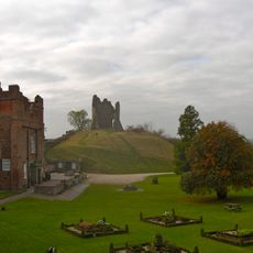
Tutbury Castle
1.1 km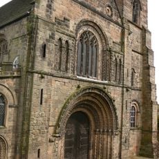
Church of St Mary
1 km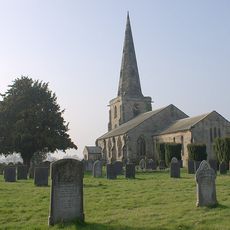
St Mary's Church, Marston on Dove
1.7 km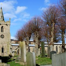
St Michael and All Angels' Church, Church Broughton
3.9 km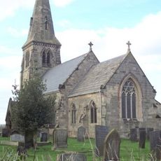
St Michael's Church, Sutton-on-the-Hill
4.7 km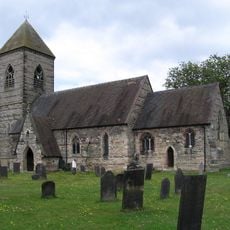
Church of St Paul
2.4 km
Tutbury War Memorial
1 km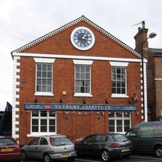
North west block of Tutbury Institute fronting street
1 km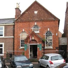
Wesleyan Methodist Chapel
1.1 km
Four Gate Piers Adjacent To No 9 Church Road
2.8 km
Ridgway Memorial Approximately 30M West Of Tower Of Church Of St Mary
3 km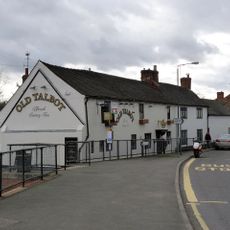
The Old Talbot Inn
3 km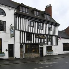
Dog And Partridge Hotel
1.2 km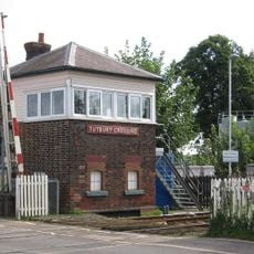
Tutbury Crossing Signal Box
347 m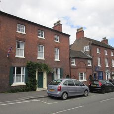
10, High Street
1.1 km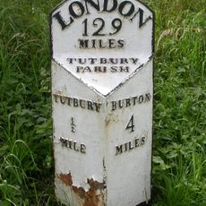
Milepost At Sk2161028370
1.6 km
8-10, Duke Street
1.2 km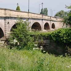
Tutbury Bridge
508 m
1, Duke Street
1.2 km
1, Castle Street
1.2 km
6 And 6A, High Street
1.1 km
Churchyard Railings And Gate Approximately 100M To West Of Church Of St Mary
2.9 km
No 9 And Adjacent Cast Iron Railings
2.8 km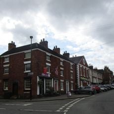
22 And 24, High Street
1 km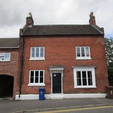
5, Monk Street
1.2 km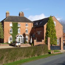
Tutbury Mill And House
1.3 km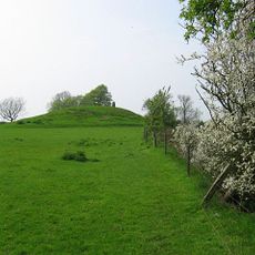
Hoon Mount platformed bowl barrow
2.3 km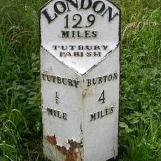
Milepost, S end of Tutbury by-pass, just E of on roundabout
1.6 kmReviews
Visited this place? Tap the stars to rate it and share your experience / photos with the community! Try now! You can cancel it anytime.
Discover hidden gems everywhere you go!
From secret cafés to breathtaking viewpoints, skip the crowded tourist spots and find places that match your style. Our app makes it easy with voice search, smart filtering, route optimization, and insider tips from travelers worldwide. Download now for the complete mobile experience.

A unique approach to discovering new places❞
— Le Figaro
All the places worth exploring❞
— France Info
A tailor-made excursion in just a few clicks❞
— 20 Minutes