Burgess Park, Urban park in Southwark, England
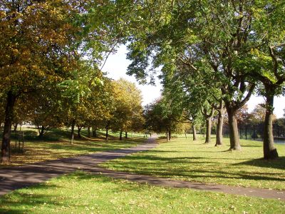
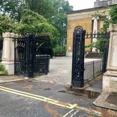
Burgess Park is a park in Southwark between Camberwell and Walworth that spans several residential neighborhoods and contains a large lake. Wide paths connect sports fields, open lawns, and playgrounds while trees line the routes offering shade.
The creation followed an urban planning proposal from 1943 that aimed to transform war-damaged industrial areas and a disused canal into green space. The works stretched over several decades and gradually reshaped the industrial landscape.
The name honors Jessie Burgess, a local councillor who campaigned for the development of the green space. Today families from the surrounding neighborhoods come here to picnic on the lawns or walk along the lake.
Access is available through several entrances on Albany Road, Old Kent Road, and Wells Way, which are easy to reach on foot or by bicycle. Toilets and a café are available, and the paths are wide enough for wheelchairs and strollers.
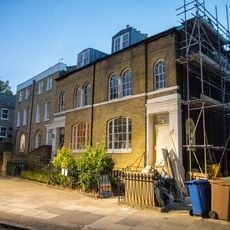
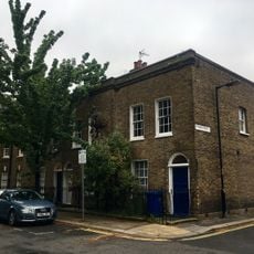
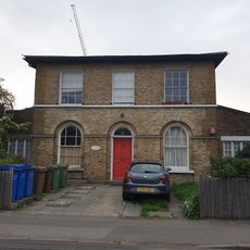
An old lime kiln from the 19th century still stands in one part of the grounds and recalls the former industrial use. Nearby you can also find the remains of former almshouses that show the social fabric of the area before the transformation.
Location: London Borough of Southwark
Operator: London Borough of Southwark
Website: http://southwark.gov.uk/YourServices/ParksSection/AZParks/BurgessPark.html
GPS coordinates: 51.48358,-0.08184
Latest update: December 5, 2025 22:29
East Street Market
812 m
St Peter's Church, Walworth
820 m
Cambridge House
918 m
Church of St Christopher (Former Pembroke College Mission Church), and No. 80
816 m
Church of St Luke
671 m
St George's Camberwell
386 m
Former Church of St George
300 m
Burgess Park War Memorial
322 m
Harkers Studio
736 m
Piers And Railings To Groundwork Trust Offices
291 m
38-42, Addington Square
743 m
113, Wells Way
489 m
190, 192 And 194, Southampton Way
648 m
Groundwork Trust Offices, And Attached Chimney
279 m
73, 75 And 77, Southampton Way
575 m
Numbers 17-20 And Attached Railings
787 m
Numbers 1, 1A And 3-11 And Attached Railings
516 m
Numbers 33-37 And Attached Railings
751 m
Numbers 7 And 8 And Attached Railings
827 m
9 And 10, Addington Square
823 m
54, 56 And 58, Liverpool Grove
759 m
Gates And Gate Piers To The West Of Church Of St Peter
842 m
Lamp Post Incorporating Former Hand Pump, Near Corner With Peckham Grove
664 m
Numbers 13-16 And Attached Railings
819 m
11, Addington Square
827 m
Numbers 47 And 48 And Attached Railings
806 m
Numbers 28-52 And Attached Railings
788 m
Collingwood House
589 mVisited this place? Tap the stars to rate it and share your experience / photos with the community! Try now! You can cancel it anytime.
Discover hidden gems everywhere you go!
From secret cafés to breathtaking viewpoints, skip the crowded tourist spots and find places that match your style. Our app makes it easy with voice search, smart filtering, route optimization, and insider tips from travelers worldwide. Download now for the complete mobile experience.
A unique approach to discovering new places❞
— Le Figaro
All the places worth exploring❞
— France Info
A tailor-made excursion in just a few clicks❞
— 20 Minutes