
Teesdale, former local government district in County Durham, England
Location: County Durham
Website: http://teesdale.gov.uk
GPS coordinates: 54.54500,-1.92700
Latest update: March 8, 2025 15:40
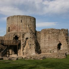
Barnard Castle
156 m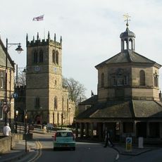
Market Cross
376 m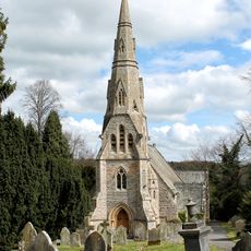
Church of Holy Trinity
709 m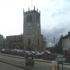
Church of St Mary
447 m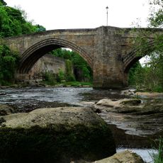
Barnard Castle Bridge
257 m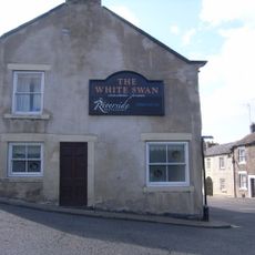
The White Swan Public House And Swan Cottage
279 m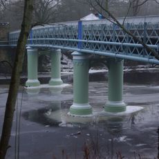
Deepdale Aqueduct
249 m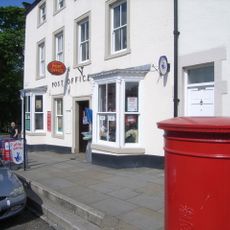
Post Office Post Office And Brampton House
117 m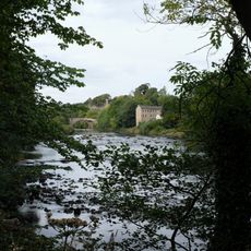
Former Mill To Rear Of Number 22
450 m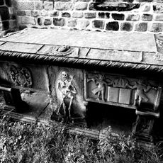
Hopper Tomb Approximately 2 Metres South Of Church Of St Mary
448 m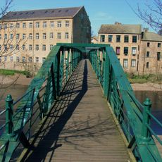
Thorngate Footbridge
667 m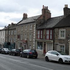
The Old Well
425 m
24, The Bank
452 m
21, Galgate
218 m
14 (Left Part), Market Place
337 m
Former Stable, Outbuildings And Walls To The Vicarage And Glebe Cottage
689 m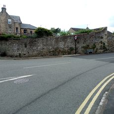
Garden Walls To East Of Numbers 64 And 66, Spring Grove Garden Walls To Spring Grove, Newgate
655 m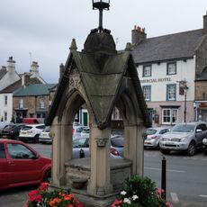
Pant
188 m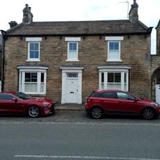
41, Newgate
607 m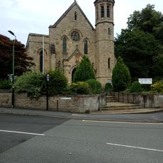
South Boundary Wall To Grounds Of Bowes Museum And Church Of St Mary
705 m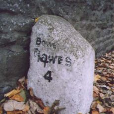
Milestone At Nz 0484 1631
327 m
6, 6A And 6B, Galgate
133 m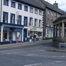
2 And 4, Market Place
367 m
31, 31A And 31B, Horse Market
178 m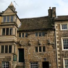
Blagraves
466 m
60, Newgate
618 m
31, Galgate
271 m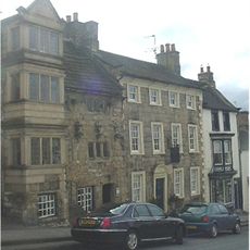
34, The Bank
475 mReviews
Visited this place? Tap the stars to rate it and share your experience / photos with the community! Try now! You can cancel it anytime.
Discover hidden gems everywhere you go!
From secret cafés to breathtaking viewpoints, skip the crowded tourist spots and find places that match your style. Our app makes it easy with voice search, smart filtering, route optimization, and insider tips from travelers worldwide. Download now for the complete mobile experience.

A unique approach to discovering new places❞
— Le Figaro
All the places worth exploring❞
— France Info
A tailor-made excursion in just a few clicks❞
— 20 Minutes