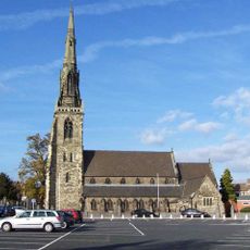
Rugeley, Historic market town in Cannock Chase, England.
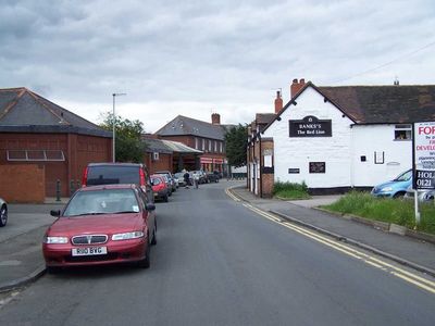
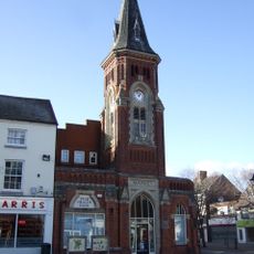
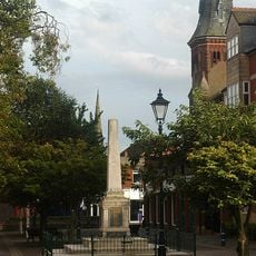
Rugeley is a town in Cannock Chase combining residential neighborhoods with shopping areas across several distinct districts. The center provides markets, shops, healthcare facilities, and connects to the wider region through two railway stations.
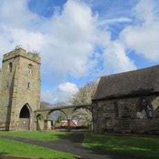
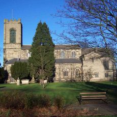
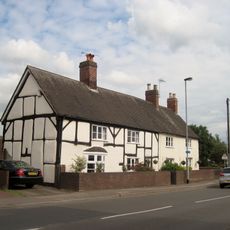
The name comes from Anglo-Saxon words meaning a ridge and a woodland clearing. The area later developed into a center for coal mining and factory work that lasted for centuries.
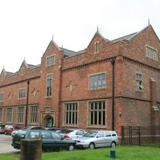
The town preserves its past as a coal mining and manufacturing center through buildings that still stand and community gatherings held regularly. These events celebrate the work of people who shaped the place through generations of extracting coal and producing goods.
The town is easy to explore on foot since main shops and services cluster near the center. The two railway stations make it straightforward to arrive and travel onward to other areas.
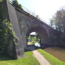
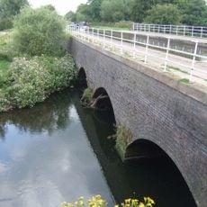
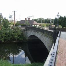
A stream called Rising Brook flows through the town center and shaped early crafts like glassmaking. This water source allowed artisans to produce glass since at least 1419 and supply it locally.
Location: Cannock Chase
Website: http://breretonandrugeleyparish.co.uk
GPS coordinates: 52.75990,-1.93880
Latest update: December 19, 2025 23:32
Remains of Old Church of St Augustine
595 m
Church of St Augustine of Canterbury
574 m
St Joseph and St Etheldreda, Rugeley
404 m
Rugeley Town Hall
248 m2 and 4, Church Street
470 m
Shrewsbury Arms Hotel. Coach House Block Of Shrewsbury Arms Hotel
298 m
Red Lion Inn
345 m
Viaduct Over Trent And Mersey Canal At Sk 0485 1780
691 m
Brindley Bank Pumping Station
1.5 km
32 And 34, Market Street
447 m
Brindley Bank Aqueduct
1.5 km
Colton Mill Bridge
1.1 km
Mile Stone (1 Mile From Rugeley)
876 m
Rugeley War Memorial
239 mBrook House
258 m
Milepost, half mile N of Rugeley town centre
653 mThe Stone House
1.3 kmLloyds Bank
195 mTomb Of Elizabeth Cuting And Emma Hollinhurst In Graveyard Of Old Church Of St Augustine
593 m16 And 18, Horse Fair
306 mBoundary Stone At Grid Reference Sk 027166
2 kmBoundary Stone On The North Bank Of Rising Brook, Approximately 75M South-East Of Dutton's Pool
1.6 kmOrnamental Bridge Over The Rising Brook, C.100M To The South-West Of Lakeside
361 mChurchyard Cross In Graveyard Of Old Church Of St Augustine
574 mGraveyard Wall Of Old Church Of St Augustine
580 mVicarage
374 m9, Wolseley Road
470 m31 And 33, Market Square
248 mVisited this place? Tap the stars to rate it and share your experience / photos with the community! Try now! You can cancel it anytime.
Discover hidden gems everywhere you go!
From secret cafés to breathtaking viewpoints, skip the crowded tourist spots and find places that match your style. Our app makes it easy with voice search, smart filtering, route optimization, and insider tips from travelers worldwide. Download now for the complete mobile experience.
A unique approach to discovering new places❞
— Le Figaro
All the places worth exploring❞
— France Info
A tailor-made excursion in just a few clicks❞
— 20 Minutes