
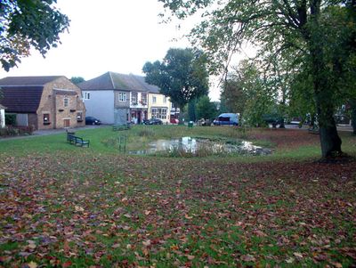
Tatsfield, village in Tandridge, Surrey, UK
Location: Tandridge
Shares border with: Biggin Hill
GPS coordinates: 51.29890,0.03060
Latest update: March 3, 2025 01:23
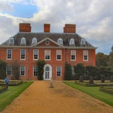
Squerryes Court
4.8 km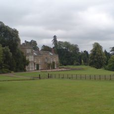
Titsey Place
2.6 km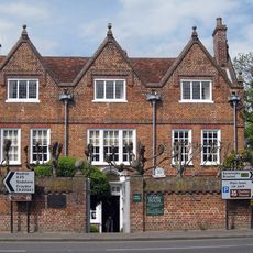
Quebec House
4.7 km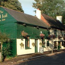
The Old Jail Public House
2.6 km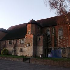
All Saints Church, Oxted
4.9 km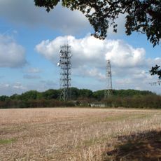
Tatsfield Receiving Station
1.7 km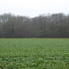
Westerham Wood
3.4 km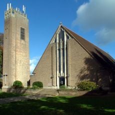
St Mark's Church
1.5 km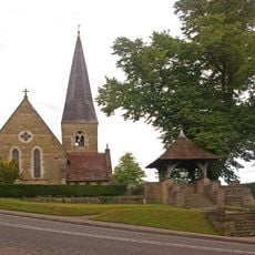
Church of St James the Greater
2.6 km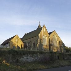
Church of St Peter
4.4 km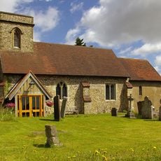
Church of St Mary the Virgin
1.3 km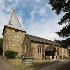
Church of St Mary the Virgin
4.6 km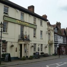
The King's Arms Hotel
4.5 km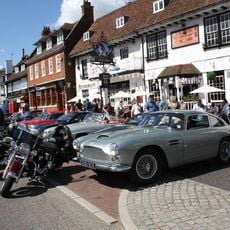
The George And Dragon Hotel
4.5 km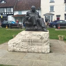
Statue of Sir Winston Churchill
4.6 km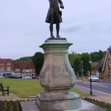
Statue of General Wolfe
4.6 km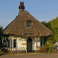
Cottage Orne Attached To Spinning Wheel Restaurant
1.9 km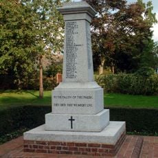
Biggin Hill Memorial Column
1.9 km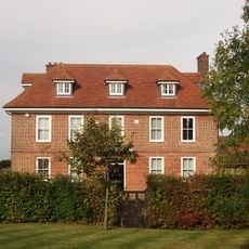
Norheads Farmhouse
1.8 km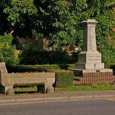
Water trough near Biggin Hill War Memorial at the junction of Jail Lane and Main Road
2 km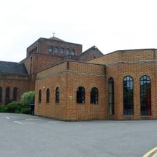
United Reformed Church and Attached Walls
4.9 km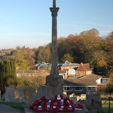
Westerham War Memorial
4.6 km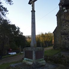
Limpsfield War Memorial
4.4 km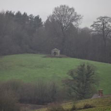
Gazebo About 330 Yards West Of Squerryes Court On Top Of Hill At Other Side Of Road
4.6 km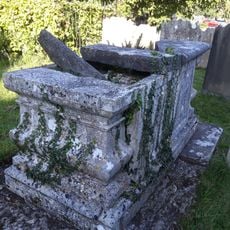
Chest Tomb 3 Yards North East Of Corner Of Chancel
5.2 km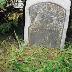
Milestone, half mile E of Oxted viaduct, 70m W of jct with Detillens Lane
5 km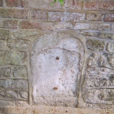
Milestone, High Street, opp. Nos 2 - 4, nr jvt with Wells Place
4.5 km
Milestone, Redwood, 400m E of village; by entrance to Redwood
4.5 kmVisited this place? Tap the stars to rate it and share your experience / photos with the community! Try now! You can cancel it anytime.
Discover hidden gems everywhere you go!
From secret cafés to breathtaking viewpoints, skip the crowded tourist spots and find places that match your style. Our app makes it easy with voice search, smart filtering, route optimization, and insider tips from travelers worldwide. Download now for the complete mobile experience.

A unique approach to discovering new places❞
— Le Figaro
All the places worth exploring❞
— France Info
A tailor-made excursion in just a few clicks❞
— 20 Minutes