Chest opened
+${chestReward.xp} XP
Explorer
NOUVEAU ×${chestReward.collectible.quantity}
tapez pour fermer
Chest locked

Open chests in the app

Around Us is built for your phone — chests unlock when you walk, explore and capture nearby places.

Enable Location

We need your location to show you interesting places around you

Discover nearby places

Find interesting locations and hidden gems around you

Precise directions

Get accurate directions and distances to places

Your location is never shared with other users. It's only used when you tap the location button.

Ravensthorpe

Log in to your account

Start exploring — it's free

Trusted by 72,881 travelers worldwide

Continue with Google
Continue with Apple
or

We will send you a code to connect

By continuing, you accept our Terms and Conditions and our Privacy Policy

Check your inbox

We've sent a pincode in your inbox. Please enter the code below.

Discussion Reviews 1 Photos
21.5k Popularity

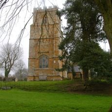
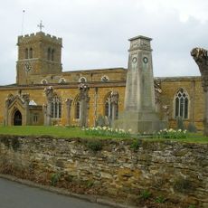
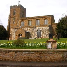
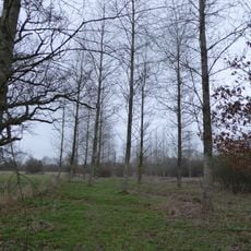
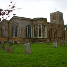
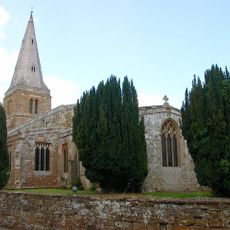
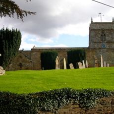
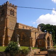
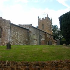
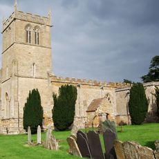
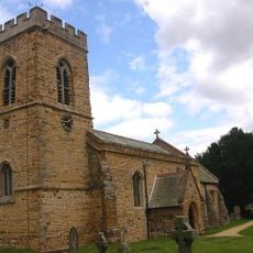
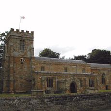
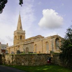
Ravensthorpe, village and civil parish in Northamptonshire, England, UK

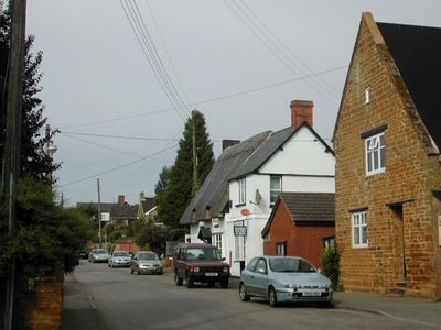
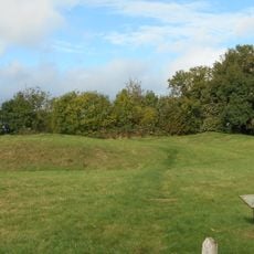
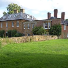
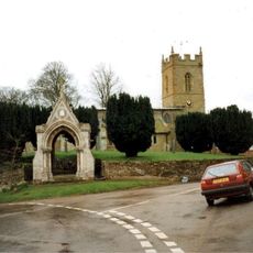
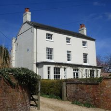
Ravensthorpe is a village and civil parish in West Northamptonshire, England. It sits among farmland and open fields, with houses spread along country lanes and a few farms giving the place its rural character.

Ravensthorpe appears in the Domesday Book of 1086, showing the village was already established before the Norman Conquest. It grew as a farming community through the medieval period and kept that rural shape into modern times.

Ravensthorpe is best reached by car, as public transport connections in the area are limited. There are few shops or services in the village, so it is a good idea to bring what you need before visiting.

The name Ravensthorpe comes from Old Norse and means something like "raven" and "hamlet", pointing to Viking or Danish settlers in this part of England. This kind of Norse naming is common across the East Midlands, reflecting how deeply Scandinavian presence shaped the region's place names.

The community of curious travelers

AroundUs brings together thousands of curated places, local tips, and hidden gems, enriched daily by 60,000 contributors worldwide.

Start exploring
GPS coordinates
52.32860,-1.02560
Latest update
March 3, 2026 08:22
Around this place
Holdenby House
United Kingdom

Holdenby House

3.9 km
Cottesbrooke Hall
United Kingdom

Cottesbrooke Hall

5.8 km
All Saints Church, Holdenby
United Kingdom

All Saints Church, Holdenby

4 km
Church of St Michael
United Kingdom

Church of St Michael

5.2 km
Church of St Lawrence
United Kingdom

Church of St Lawrence

4.7 km
Church of All Saints
United Kingdom

Church of All Saints

3.7 km
Calender Meadows
United Kingdom

Calender Meadows

4.9 km
Church of St Mary the Virgin, Great Brington
United Kingdom

Church of St Mary the Virgin, Great Brington

5.3 km
Church of St Ethelreda, Guilsborough
United Kingdom

Church of St Ethelreda, Guilsborough

2.4 km
Church of St Michael
United Kingdom

Church of St Michael

4.3 km
Church of St Denys
United Kingdom

Church of St Denys

524 m
Church of St Denys
United Kingdom

Church of St Denys

5.8 km
Church of All Saints, Cottesbrooke
United Kingdom

Church of All Saints, Cottesbrooke

5.4 km
Church of St Helen
United Kingdom

Church of St Helen

5.2 km
Church of St Mary
United Kingdom

Church of St Mary

2.3 km
Church of St Andrew
United Kingdom

Church of St Andrew

5.3 km
Althorp, Garden Temple
United Kingdom

Althorp, Garden Temple

5.3 km
Althorp, Falconry Or Hawking Tower
United Kingdom

Althorp, Falconry Or Hawking Tower

5 km
Holdenby House, carriage arch about 130m south east
United Kingdom

Holdenby House, carriage arch about 130m south east

4 km
Cottesbrooke Hall, Statue Of Socrates Approximately 44 Metres South West
United Kingdom

Cottesbrooke Hall, Statue Of Socrates Approximately 44 Metres South West

5.7 km
Holdenby House, Carriage Arch Approximately 130 Metres North East
United Kingdom

Holdenby House, Carriage Arch Approximately 130 Metres North East

4 km
Cottesbrooke Hall, Bridge Approximately 300 Metres South East
United Kingdom

Cottesbrooke Hall, Bridge Approximately 300 Metres South East

5.7 km
Cross, Approximately 40 Metres South West Of St Mary's Church
United Kingdom

Cross, Approximately 40 Metres South West Of St Mary's Church

5.3 km
Long Buckby ringwork and bailey
United Kingdom

Long Buckby ringwork and bailey

4.9 km
The Old Rectory
United Kingdom

The Old Rectory

5.4 km
Lych Gate to Church of St Denys
United Kingdom

Lych Gate to Church of St Denys

5.9 km
The Old Vicarage And Attached At Rear
United Kingdom

The Old Vicarage And Attached At Rear

5.8 km
Milestone, High Street, by No. 30,
United Kingdom

Milestone, High Street, by No. 30,

3.6 km
Show the full map
Reviews
Share your experience

No review yet

Discussions
Start a discussion...

No discussion yet

« Ravensthorpe - village and civil parish in Northamptonshire, England, UK » is provided by Around Us (aroundus.com). Images and texts are derived from Wikimedia project under a Creative Commons license. You are allowed to copy, distribute, and modify copies of this page, under the conditions set by the license, as long as this note is clearly visible.

Discover hidden gems everywhere you go!

From secret cafés to breathtaking viewpoints, skip the crowded tourist spots and find places that match your style. Our app makes it easy with voice search, smart filtering, route optimization, and insider tips from travelers worldwide. Download now for the complete mobile experience.

Around Us App Screenshot

A unique approach to discovering new places

Le Figaro

All the places worth exploring

France Info

A tailor-made excursion in just a few clicks

20 Minutes

Around Us
Travel Guide & Maps
Download

Send to your phone

QR Code
1

Open the camera app on your mobile.

2

Point at the QR code with your camera. A notification will appear.

3

Tap the notification to open the link.