
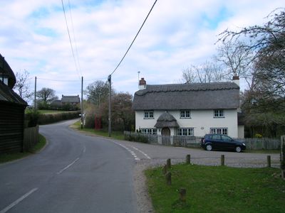
Minstead, village and civil parish in the New Forest, Hampshire, England; north of Lyndhurst
Location: New Forest
Website: https://minstead.org.uk
GPS coordinates: 50.90268,-1.60973
Latest update: March 5, 2025 23:49

Portuguese Fireplace
3.9 km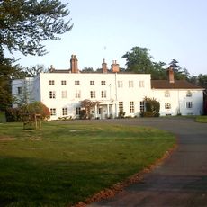
Foxlease
5.1 km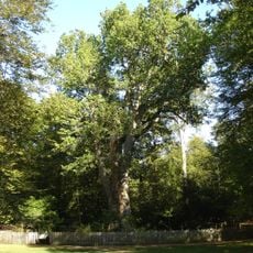
Knightwood Oak
5.1 km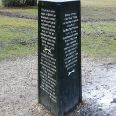
Rufus Stone
921 m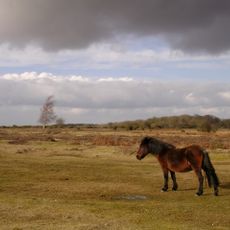
Ocknell Plain
4.3 km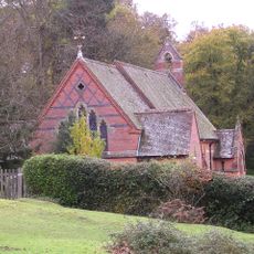
Christ Church
3.4 km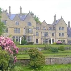
Minstead Lodge
1.1 km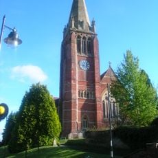
Church of St Michael and All Angels
4.1 km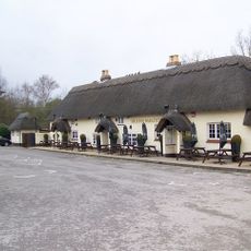
Sir John Barleycorn Inn
2.6 km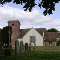
Church of All Saints
871 m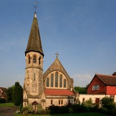
Church of Our Lady and St Edward
4 km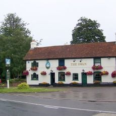
The Swan Inn
3.7 km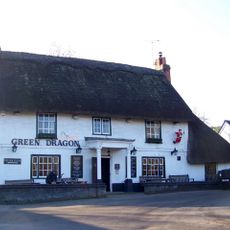
Green Dragon Inn
2.5 km
The Crown Hotel
4 km
Fox And Hounds Public House
4.1 km
Malwood Castle hillfort
618 m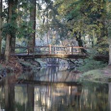
Rhinefield Bridge Over Blackwater Stream North Of Rhinefield House
7 km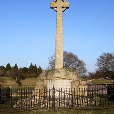
War memorial at Lyndhurst, New Forest
4.4 km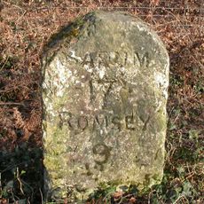
Milestone 250 Metres North Of The Kennels, On Opposite Side Of Road
2.4 km
Bowl barrow 1130m east of Broomy Lodge
5.4 km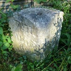
Milestone 15 Metres North Of Entrance To Stydd House And Stydd Close
4.5 km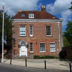
The Queen's House
4 km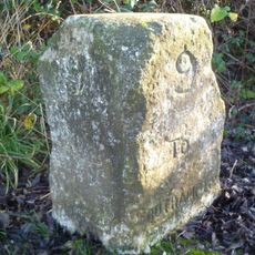
Milestone, Offices, opp. house named 'Rydal'.
4.4 km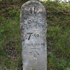
Milestone, Bratley Arch
4.6 km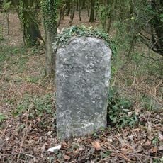
Milestone, Malwood; 50m W access road on to A31
644 m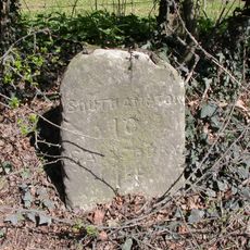
Milestone, Birchenwood Farm
2.4 km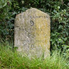
Milestone, Old Southampton Road; Cadnam; 100m E of "John Barleycorn"
2.7 km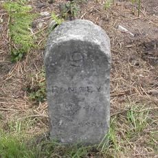
Milestone, Stoney Cross; 50m W of junction of A31 with New Town Road
1.9 kmVisited this place? Tap the stars to rate it and share your experience / photos with the community! Try now! You can cancel it anytime.
Discover hidden gems everywhere you go!
From secret cafés to breathtaking viewpoints, skip the crowded tourist spots and find places that match your style. Our app makes it easy with voice search, smart filtering, route optimization, and insider tips from travelers worldwide. Download now for the complete mobile experience.

A unique approach to discovering new places❞
— Le Figaro
All the places worth exploring❞
— France Info
A tailor-made excursion in just a few clicks❞
— 20 Minutes