
Swinbrook and Widford, civil parish in West Oxfordshire, England
Location: West Oxfordshire
Shares border with: Shipton-under-Wychwood, Fulbrook, Burford, Shilton, Brize Norton, Asthall, Leafield
GPS coordinates: 51.80750,-1.60056
Latest update: March 3, 2025 06:51

Asthall Manor
1.3 km
Church of St John the Baptist, Burford
2.3 km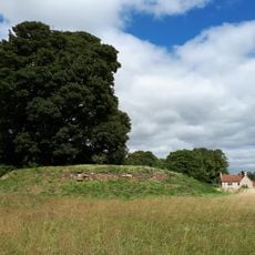
Asthall Barrow: an Anglo-Saxon burial mound 100m SSW of Barrow Farm
2.5 km
Church of St Mary, Swinbrook
350 m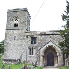
Church of Saint James the Great
2 km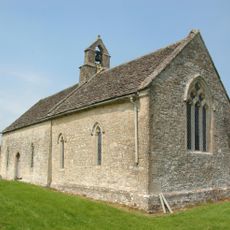
Church of St Oswald
306 m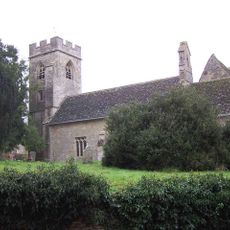
Church of Saint Nicholas
1.3 km
Warwick Hall
2.3 km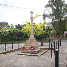
Fulbrook War Memorial
1.9 km
Swinbrook Manor House
386 m
Apple Store, Coach House, Stables And Flanking Garden Walls About 50 Metres East Of Riverside House Churchyard West Boundary Wall
2.4 km
Burford Grammar School (main part including Lenthall House)
2.4 km
The Bell House
469 m
Robert Aston Tomb About 10 Metres South Of South West Corner Of Church Of St John
2.4 km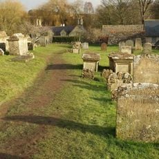
Group Of 6 Chest Tombs Approximately 7-10 Metres South Of Church Of St Mary
359 m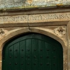
Church Schools
2.3 km
The Great House
2.4 km
Symon Wysdom's House
2.4 km
Bale Tomb Of West Richardson Faulkner About 6 Metres South Of South Transept Of Church Of St John
2.3 km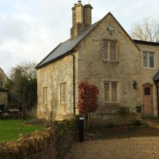
Swinbrook Place
420 m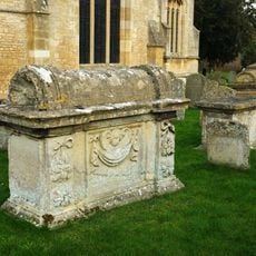
Elizabeth And Henry Sules Bale Tomb About 7 Metres South South East Of Porch Of Church Of St John
2.3 km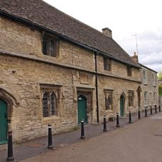
The Great Almshouses
2.3 km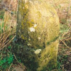
Milestone, W of Barrow Plantation, on ridge above Astall; between A40 roundabout & turn to Brize
1.9 km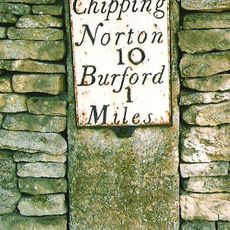
Milestone, Main Road; set in a stone retaining wall on drive of "The House on the Hill"
1.9 km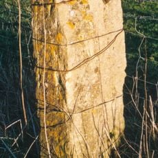
Milestone, Shipton Down
3.5 km
Riverside House
2.4 km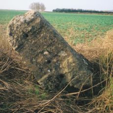
Milestone, S of Hill Buildings between top of hill and lay-by
3.7 km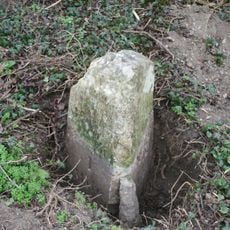
Milestone, the old road down White Hill, just below from house
1.4 kmVisited this place? Tap the stars to rate it and share your experience / photos with the community! Try now! You can cancel it anytime.
Discover hidden gems everywhere you go!
From secret cafés to breathtaking viewpoints, skip the crowded tourist spots and find places that match your style. Our app makes it easy with voice search, smart filtering, route optimization, and insider tips from travelers worldwide. Download now for the complete mobile experience.

A unique approach to discovering new places❞
— Le Figaro
All the places worth exploring❞
— France Info
A tailor-made excursion in just a few clicks❞
— 20 Minutes