
Youlgrave, village and civil parish in Derbyshire Dales district, Derbyshire, England
Location: Derbyshire Dales
Shares border with: Over Haddon, Monyash, Nether Haddon, Gratton, Harthill, Middleton and Smerrill
GPS coordinates: 53.17500,-1.68700
Latest update: March 14, 2025 15:51

Nine Stones Close
2.2 km
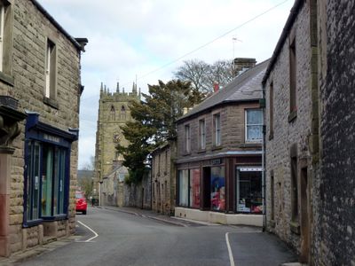
All Saints’ Church, Youlgreave
217 m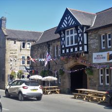
Bulls Head
66 m
Conksbury Bridge
1.4 km
Western gatepiers and gates to All Saints Churchyard
196 m
Mill Bridge
1.2 km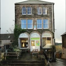
YHA Hostel
33 m
Coal Pit Bridge
1 km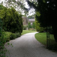
Lomberdale Hall
1.2 km
Meadow Place Grange Farmhouse
1.8 km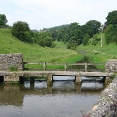
Footbridge over River Bradford 60 metres south west of Bedford House
391 m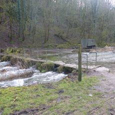
Footbridge 20 metres south of Lathkill Lodge, over River Lathkill
2 km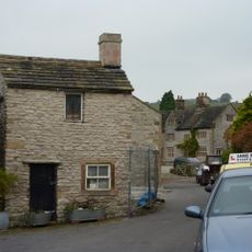
Thimble Hall
33 m
All Saints School and School House
293 m
Raper Lodge
893 m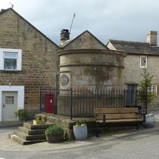
Conduit Head
37 m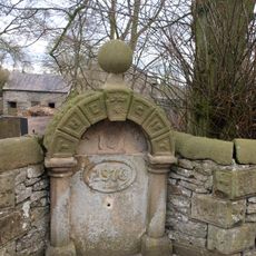
Water Supply Fountain
1.8 km
Castle Ring defended settlement
1.8 km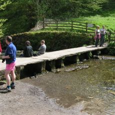
Footbridge over River Bradford
298 m
Rock House
1.1 km
Auburn House and attached railings
160 m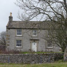
Haddon Grove Farm (East)
3.5 km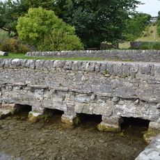
Road bridge over River Bradford
422 m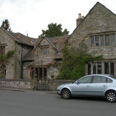
Old Hall
53 m
Sundial 10 metres south west of All Saints Church porch
219 m
Packhorse bridge over River Bradford 120 metres south east of Braemar House
514 m
Ravenstor Close and attached garage
645 m
Lathkill House Farmhouse
1 kmVisited this place? Tap the stars to rate it and share your experience / photos with the community! Try now! You can cancel it anytime.
Discover hidden gems everywhere you go!
From secret cafés to breathtaking viewpoints, skip the crowded tourist spots and find places that match your style. Our app makes it easy with voice search, smart filtering, route optimization, and insider tips from travelers worldwide. Download now for the complete mobile experience.

A unique approach to discovering new places❞
— Le Figaro
All the places worth exploring❞
— France Info
A tailor-made excursion in just a few clicks❞
— 20 Minutes