Derbyshire Dales

Log in to your account

AroundUs is a community-driven map of interesting places, built by curious explorers like you. It grows with every review, story, and photo you share.
Connect to save your favorite spots, contribute locations, and create personalized routes.
Continue with Google
Continue with Apple
Continue with X
Continue with Facebook
Continue with email
By continuing, you accept our Terms and Conditions and our Privacy Policy
Create an account
Add to collection
Map
Suggest a change
Share

Derbyshire Dales, Non-metropolitan district in Derbyshire, England.

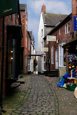
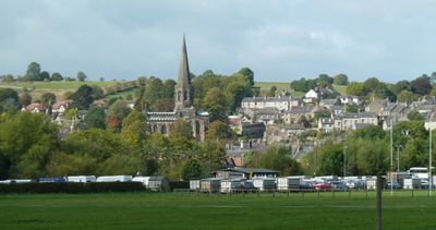
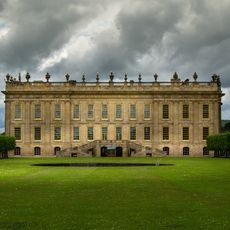
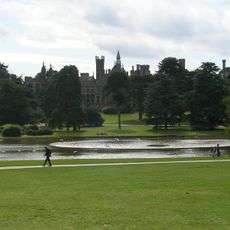
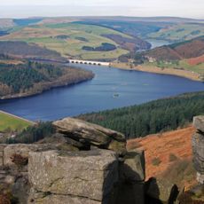
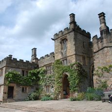
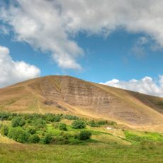
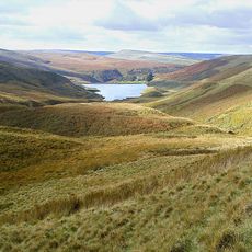
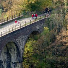
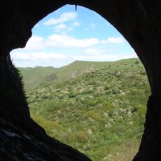
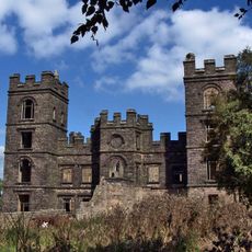
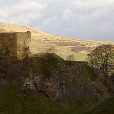
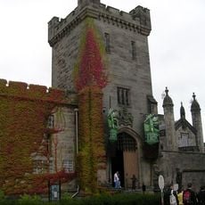
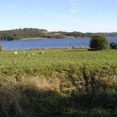
Derbyshire Dales is an administrative district spanning areas within the Peak District, encompassing market towns like Matlock, Bakewell, and Ashbourne alongside smaller villages and farmland. The landscape combines rolling valleys with stone buildings characteristic of this English upland region.

The district was created in 1974 by merging several former local government areas, including zones around Ashbourne, Bakewell, Matlock, and Wirksworth. This consolidation brought together historically separate valley communities under a single administrative framework.

The name references the river valleys and rolling terrain that define the area. People here identify with rural heritage and craft traditions that remain visible in the villages and market towns throughout the district.

The district is managed from Matlock, where visitors can find local services and information. The area is best explored by car, as the valleys and villages spread across regional road connections.

Within sections of the Peak District National Park contained in the district, a separate national planning authority has jurisdiction, creating an unusual administrative split. This quirk shows how environmental protection operates alongside local governance in this region.

Location: Derbyshire

Inception: April 1, 1974

Capital city: Matlock

Shares border with: High Peak, South Derbyshire, Amber Valley, North East Derbyshire

Website: http://derbyshiredales.gov.uk

GPS coordinates: 53.05000,-1.70000

Latest update: December 20, 2025 15:28

Photos
Reviews

Visited this place? Tap the stars to rate it and share your experience / photos with the community! Try now! You can cancel it anytime.

« Derbyshire Dales - Non-metropolitan district in Derbyshire, England » is provided by Around Us (aroundus.com). Images and texts are derived from Wikimedia project under a Creative Commons license. You are allowed to copy, distribute, and modify copies of this page, under the conditions set by the license, as long as this note is clearly visible.

Discover hidden gems everywhere you go!

From secret cafés to breathtaking viewpoints, skip the crowded tourist spots and find places that match your style. Our app makes it easy with voice search, smart filtering, route optimization, and insider tips from travelers worldwide. Download now for the complete mobile experience.

Around Us App Screenshot

A unique approach to discovering new places

Le Figaro

All the places worth exploring

France Info

A tailor-made excursion in just a few clicks

20 Minutes