Enable Location

We need your location to show you interesting places around you

Discover nearby places

Find interesting locations and hidden gems around you

Precise directions

Get accurate directions and distances to places

Your location is never shared with other users. It's only used when you tap the location button.

Pennine Way

Log in to your account

Start exploring — it's free

Trusted by 61,782 travelers worldwide

Continue with Google
Continue with Apple
or

We will send you a code to connect

By continuing, you accept our Terms and Conditions and our Privacy Policy

Check your inbox

We've sent a pincode in your inbox. Please enter the code below.

Pennine Way

Pennine Way, National Trail through Pennine hills, England and Scotland.

Description

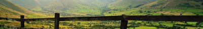
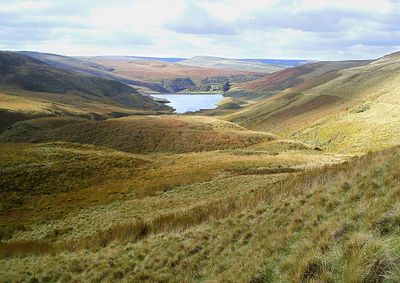
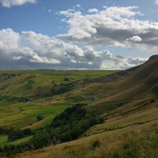
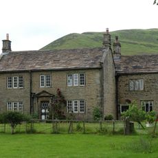
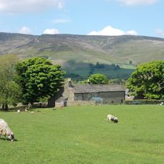
The Pennine Way is a long-distance trail running 268 miles from Edale in the Peak District to Kirk Yetholm near the Scottish border. The route passes through varied terrain, from peat bogs and hills to rocky ridges and river valleys.

History

Journalist Tom Stephenson proposed the route in 1935, inspired by American trails, but the official opening did not take place until 1965. The long planning period reflected debates over land use and public access rights.

Culture

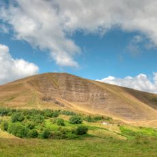
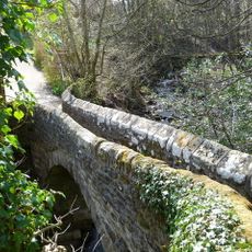
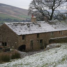
The name comes from the Pennines, a range many call the backbone of England. Walkers cross moorland and old stone bridges that shape the character of this remote region.

Practical

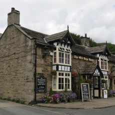
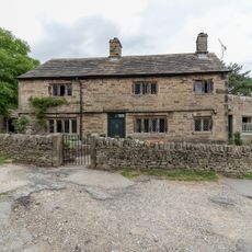
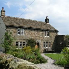
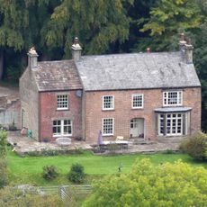
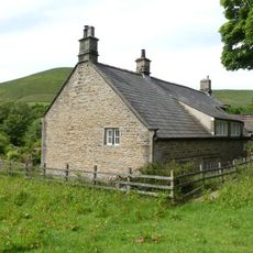
The route is divided into sections that walkers complete in two to three weeks, depending on pace. Small towns like Hebden Bridge or Hawes offer accommodation and supplies along the way.

Did you know?

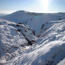
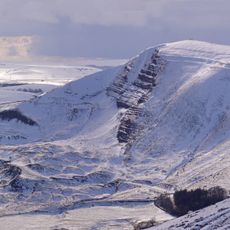
The highest point sits at Cross Fell at 2,930 feet (893 meters), where wind conditions can change suddenly. Many walkers report strong wind and shifting weather in this exposed zone.

Location
Part of
E2 European long distance path
GPS coordinates
53.37060,-1.81680
Latest update
December 13, 2025 18:27

AroundUs brings together thousands of curated places, local tips, and hidden gems, enriched daily by 60,000 contributors worldwide. Discover all places nearby (United Kingdom).

« Pennine Way - National Trail through Pennine hills, England and Scotland » is provided by Around Us (aroundus.com). Images and texts are derived from Wikimedia project under a Creative Commons license. You are allowed to copy, distribute, and modify copies of this page, under the conditions set by the license, as long as this note is clearly visible.

Discover hidden gems everywhere you go!

From secret cafés to breathtaking viewpoints, skip the crowded tourist spots and find places that match your style. Our app makes it easy with voice search, smart filtering, route optimization, and insider tips from travelers worldwide. Download now for the complete mobile experience.

Around Us App Screenshot

A unique approach to discovering new places

Le Figaro

All the places worth exploring

France Info

A tailor-made excursion in just a few clicks

20 Minutes

Around Us
Travel Guide & Maps
Download

Send to your phone

QR Code
1

Open the camera app on your mobile.

2

Point at the QR code with your camera. A notification will appear.

3

Tap the notification to open the link.