
Stapleford Abbotts, village and civil parish in the district of Epping Forest, Essex, UK
Location: Epping Forest
Shares border with: Theydon Mount
GPS coordinates: 51.63800,0.16400
Latest update: March 6, 2025 12:54
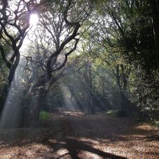
Hainault Forest
3 km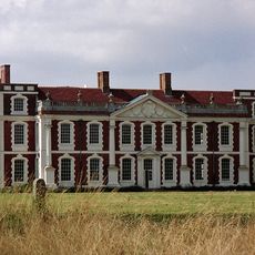
Hill Hall
4.1 km
Bedfords Park
3.8 km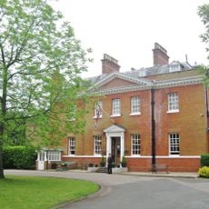
Bower House
3.1 km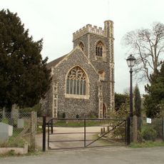
Church of St John the Evangelist, Havering-atte-Bower
2.7 km
Curtismill Green
2.2 km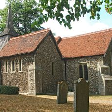
Church of St Mary, Stapleford Tawney
3.6 km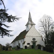
Parish Church of St Mary and All Saints
2.1 km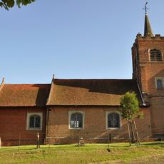
Church of St Michael The Archangel
3.8 km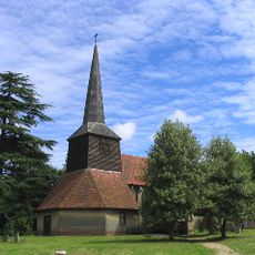
Church of St Thomas the Apostle
5.1 km
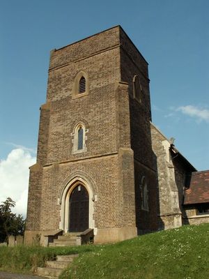
Parish Church of St Mary the Virgin, Stapleford Abbots
706 m
Blue Boar Inn
3.5 km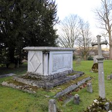
Church of All Saints Table Tomb In Churchyard Approximately 100 Feet North East Of Chancel To Sir Thomas Coxhead 1811
4.7 km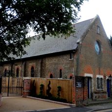
Holy Trinity Church
3.4 km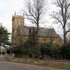
All Saints Church, Chigwell Row
4 km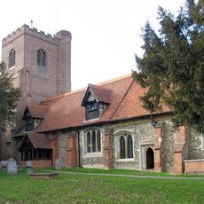
Church of All Saints
4.7 km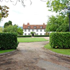
Lambourne Hall
2.2 km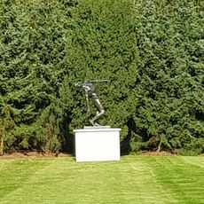
The Falling Man
5.1 km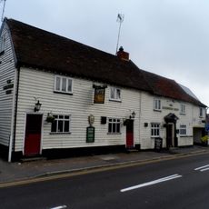
The Maltsters Arms Public House
3.5 km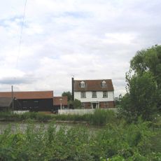
Watton Farmhouse
3.3 km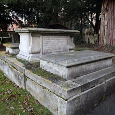
Church of All Saints Tombstone In Churchyard To Mrs E Rogers 1759 And R Rogers 1773
4.7 km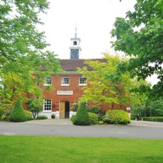
Stable Block At The Bower House
3.1 km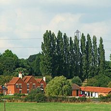
Skinners Farmhouse
3.1 km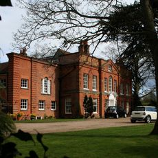
Lambourne Place
2.3 km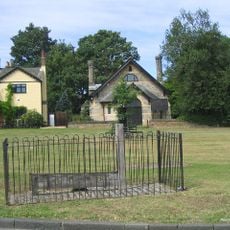
The Stocks And Whipping Post
2.8 km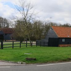
South Barn 60 Metres South Of Rose Hall Farmhouse
4.5 km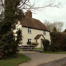
Brook Farm
2.8 km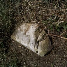
Milestone, 400m E of Piggots Farm
3.6 kmVisited this place? Tap the stars to rate it and share your experience / photos with the community! Try now! You can cancel it anytime.
Discover hidden gems everywhere you go!
From secret cafés to breathtaking viewpoints, skip the crowded tourist spots and find places that match your style. Our app makes it easy with voice search, smart filtering, route optimization, and insider tips from travelers worldwide. Download now for the complete mobile experience.

A unique approach to discovering new places❞
— Le Figaro
All the places worth exploring❞
— France Info
A tailor-made excursion in just a few clicks❞
— 20 Minutes