
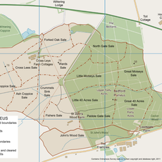
Wittering, village and civil parish in Cambridgeshire, UK
Location: City of Peterborough
Website: http://witteringparishcouncil.com
GPS coordinates: 52.61100,-0.44600
Latest update: March 17, 2025 01:52
Bedford Purlieus National Nature Reserve
3.2 km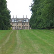
Walcot Hall
3 km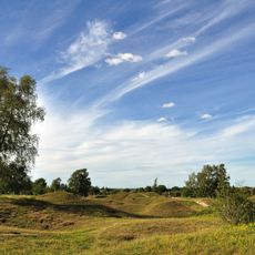
Barnack Hills & Holes National Nature Reserve
2.9 km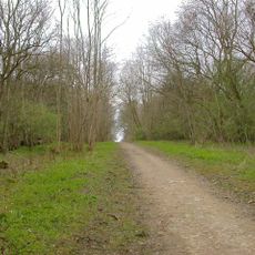
Old Sulehay Forest
4.2 km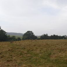
Wansford Pasture
3.6 km
Whitewater Valley
1.4 km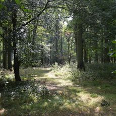
West, Abbot's and Lound Woods
1.8 km
Southorpe Paddock
3.1 km
Bonemills Hollow
2.3 km
Southorpe Meadow
3 km
Southorpe Roughs
2 km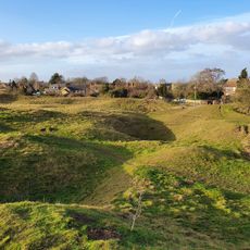
Barnack Hills and Holes National Nature Reserve
3 km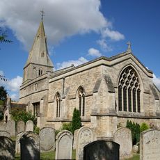
Church of St Mary the Virgin
3.9 km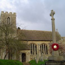
Church of St Andrew, Thornhaugh
2.6 km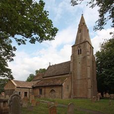
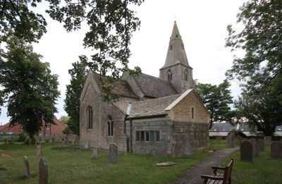
Church of All Saints
662 m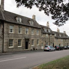
Church House
3.9 km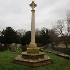
Thornhaugh And Wansford War Memorial
2.6 km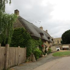
Meadow Cottage
4 km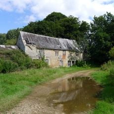
Barnack Water Mill
1.3 km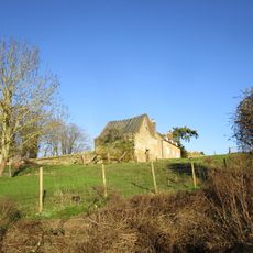
Dovecot West South West Of The Rectory
590 m
2, 4 And 6, Russell Hill
2.6 km
Manor House
2.5 km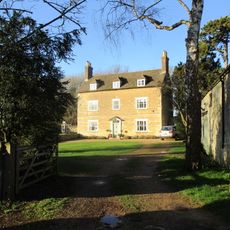
The Rectory
581 m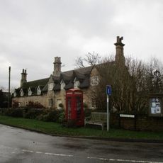
1-7, Meadow Lane
2.5 km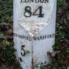
Milepost, Old North Road at jct with A1 and A47
3.4 km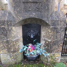
Conduit Head Immediately South Of Nos 5 And 7
2.6 km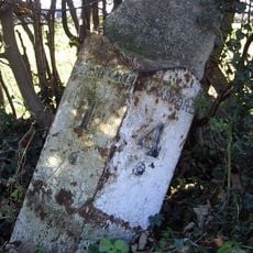
Milepost, Old Great North Road, N of jct with A1
2.8 km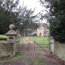
The Old Rectory
2.6 kmVisited this place? Tap the stars to rate it and share your experience / photos with the community! Try now! You can cancel it anytime.
Discover hidden gems everywhere you go!
From secret cafés to breathtaking viewpoints, skip the crowded tourist spots and find places that match your style. Our app makes it easy with voice search, smart filtering, route optimization, and insider tips from travelers worldwide. Download now for the complete mobile experience.

A unique approach to discovering new places❞
— Le Figaro
All the places worth exploring❞
— France Info
A tailor-made excursion in just a few clicks❞
— 20 Minutes