Bedford Purlieus National Nature Reserve, National nature reserve near Stamford, United Kingdom.
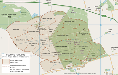
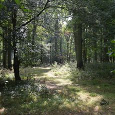
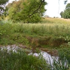
Bedford Purlieus is a nature reserve near Stamford featuring more than 200 hectares of ancient woodland with varying soil types that support a rich variety of plants and wildlife. The different ground conditions throughout the forest create distinct habitats where numerous species live together in an interconnected web of relationships.
The woodland served as an iron smelting center during Roman times and later became part of the Royal Forest of Rockingham in the medieval period. These long phases of human use shaped the forest structure and species composition that visitors see today.
The reserve functions as an outdoor laboratory for scientists developing historical ecological approaches to woodland management since the 1970s.
The reserve has walking trails and allows birdwatching activities throughout different areas of the woodland. Visitors should wear proper footwear since ground conditions vary depending on weather and season.
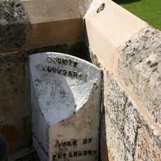
Archaeological surveys have revealed remains of Roman iron extraction and smelting sites scattered throughout the reserve. These findings demonstrate how ancient industrial activity reshaped the landscape and continues to influence the forest composition today.
The community of curious travelers
AroundUs brings together thousands of curated places, local tips, and hidden gems, enriched daily by 60,000 contributors worldwide.