
White Waltham, village and civil parish in Berkshire, UK
Location: Windsor and Maidenhead
Shares border with: Shottesbrooke
GPS coordinates: 51.49040,-0.76910
Latest update: March 8, 2025 03:43
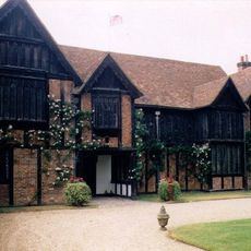
Ockwells
2.4 km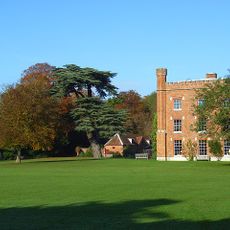
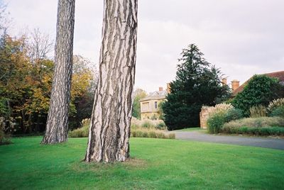
Shottesbrooke Park
1.5 km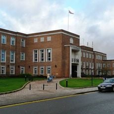
Maidenhead Town Hall
4.9 km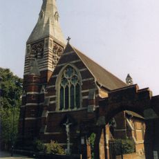
All Saints' Church, Maidenhead
4 km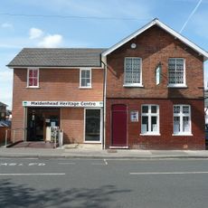
Maidenhead Heritage Centre
4.9 km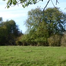
Bray Meadows
4.1 km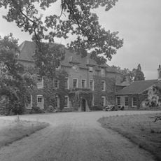
Stubbings House
3.6 km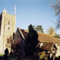
Church of All Saints, Binfield
5.5 km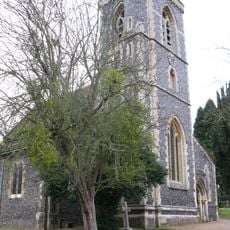
Church of St Mary
80 m
Church of St. James the Less
4.2 km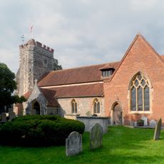
Church of St Lawrence
2.7 km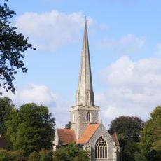
Church of St John the Baptist, Shottesbrooke
1.5 km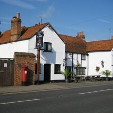
The Crown Public House
5 km
Bell Inn
2.7 km
Odeon Maidenhead
4.7 km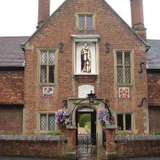
Jesus Hospital, Including Chaplain's House, The Almshouses And The Chapel
5 km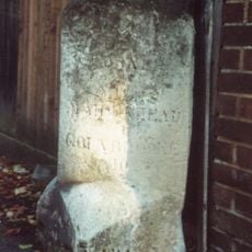
Milestone Opposite Number 34
4.1 km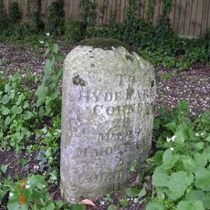
Milestone 220 Yards East Of Thicket Corner
3.3 km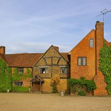
Lillibrooke Manor
1.8 km
The Clocktower
4.5 km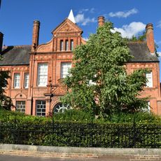
Main Building And Two Side Wings Of Berkshire College Of Art
4.8 km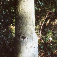
Milestone At Ngr 8488 8170
4.2 km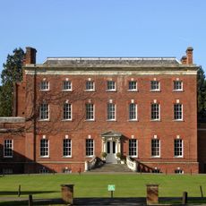
Hall Place
4.9 km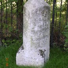
Milestone Approximately 165 Metres West Of The Junction With Burchetts Lane
2.9 km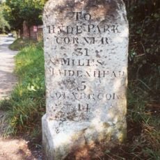
Milestone At Ngr 8195 7902
3.9 km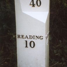
Mile Post About 80 Metres South West Of Burchetts Green School
4 km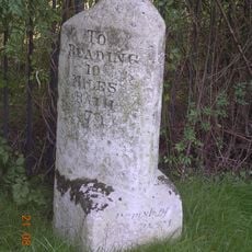
Milestone, Nearly Opposite Junction With Burchetts Green Road
3.7 km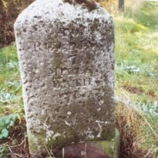
Milestone At Ngr 8072 7805
4.9 kmVisited this place? Tap the stars to rate it and share your experience / photos with the community! Try now! You can cancel it anytime.
Discover hidden gems everywhere you go!
From secret cafés to breathtaking viewpoints, skip the crowded tourist spots and find places that match your style. Our app makes it easy with voice search, smart filtering, route optimization, and insider tips from travelers worldwide. Download now for the complete mobile experience.

A unique approach to discovering new places❞
— Le Figaro
All the places worth exploring❞
— France Info
A tailor-made excursion in just a few clicks❞
— 20 Minutes