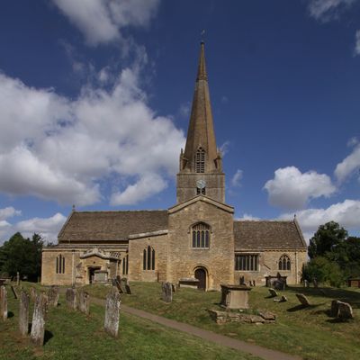
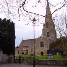
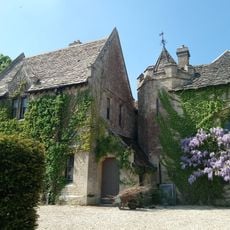
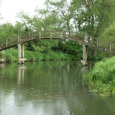
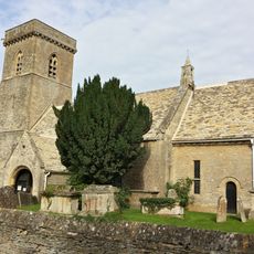
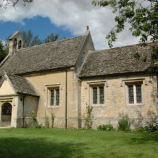
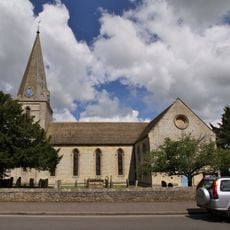
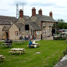
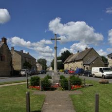
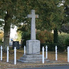
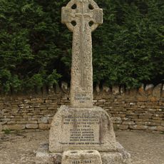
Bampton, village and civil parish in West Oxfordshire, England
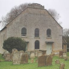
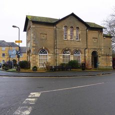
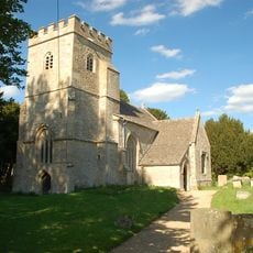
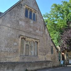
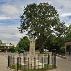
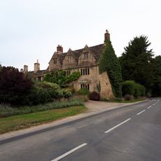
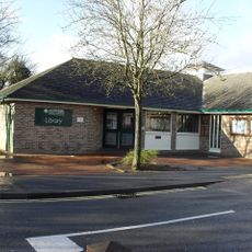
Bampton is a village in West Oxfordshire with a long history and traditional English architecture. It serves as the administrative center of a civil parish and retains its village character with local shops and residential buildings spanning different periods.
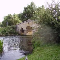
Bampton was founded in medieval times and developed into an important trading center in the region. Its significance declined over the centuries, but it retained its historic core and its role as a community hub.
The village is easily walkable and has a clear center with shops and facilities around the main street. Visitors should be prepared for uneven ground and narrow paths, as this is an older place with a traditional layout.
The community of curious travelers
AroundUs brings together thousands of curated places, local tips, and hidden gems, enriched daily by 60,000 contributors worldwide.