Irthlingborough, town and civil parish in Northamptonshire, United Kingdom
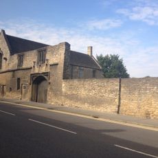
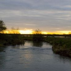
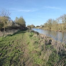
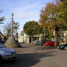
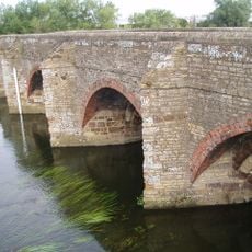
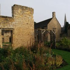
Irthlingborough is a small town in North Northamptonshire next to the River Nene with historic buildings and winding streets. The center offers a mix of traditional stone buildings, local shops, pubs and cafes gathered around an active market square.
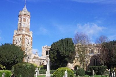
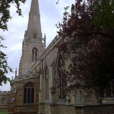
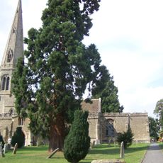
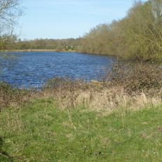
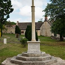
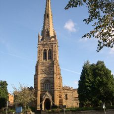
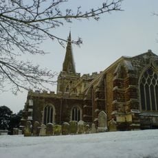
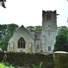
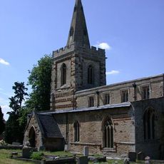
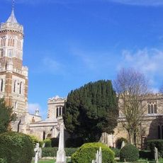
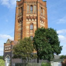
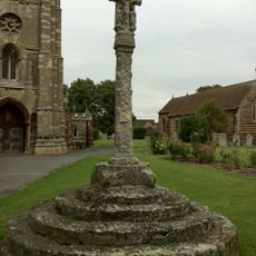
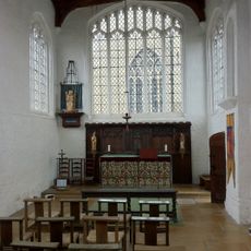
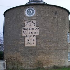
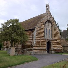
The town dates back to medieval times and was known for ironstone mining and grain mills powered by the River Nene. St Peter's Church with its distinctive lantern tower has stood for hundreds of years as a historic anchor for the community.
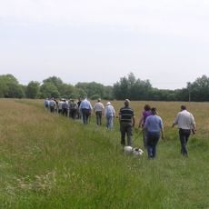
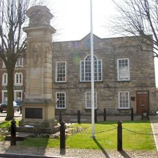
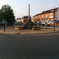
The market square is the heart of community life in Irthlingborough, where residents and visitors gather at local shops and cafes. The streets reflect a traditional English small town where family and neighborhood ties run deep.
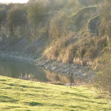
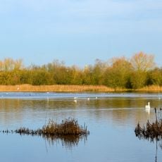
The town is small enough to explore on foot with walkways along the River Nene for leisurely strolls. Local parking is available near the center, and road access is via bypasses that keep traffic away from the historic town center.
St Peter's Church features an unusual lantern tower that was historically built to guide travelers through foggy weather. The tower and the four directional doors make this building a distinctive architectural testament to local history.
The community of curious travelers
AroundUs brings together thousands of curated places, local tips, and hidden gems, enriched daily by 60,000 contributors worldwide.