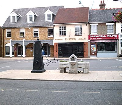
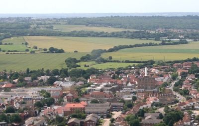
Rochford, Administrative town in Essex, England
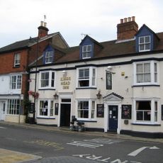
Rochford is an administrative town in Essex, England, located within a suburban area between Ashingdon and Hawkwell. The town provides residential neighborhoods, local services, and access to river landscapes along the Crouch and Roach waterways.
The name comes from Old English Rochefort, meaning Ford of the Hunting Dogs, reflecting medieval connections to hunting culture. This link to hunting traditions shaped the region during the Middle Ages and beyond.
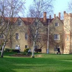
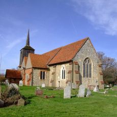
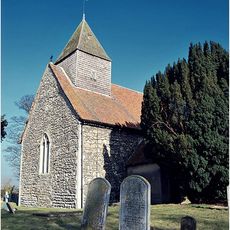
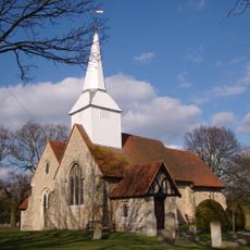
St Andrew's Parish Church displays architectural details from the 14th to 16th centuries and preserves the Anglo-Saxon religious heritage of the area. Visitors can still see medieval stonework and wooden elements that tell the spiritual history of the place.
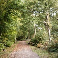
The town has recreational facilities at Clements Hall Leisure Centre and walking paths along the river estuaries of the Crouch and Roach. Visitors can use these nature-oriented routes to explore the local landscape and waterlife.
Rochford Hospital pioneered the use of light therapy treatments, contributing to medical progress in the region. This innovation shows the town's role in developing modern healthcare approaches.
Location: Rochford
GPS coordinates: 51.58210,0.70650
Latest update: December 20, 2025 01:40
Rochford Hall
564 m
St Laurence and All Saints Church
2.2 km
Hockley Woods
4.6 km
Corn Exchange, Rochford
27 m
Church of St Andrew
482 m
Church of All Saints
1.7 km
Church of St Mary the Virgin
2.1 km
The Kings Head Hotel
9 m
Headstone And Surrounds Approximately 16 Metres South Of South West Angle Of South Porch Of Church Of St Andrew
494 mBell House Public House
4 kmRose Cottage
177 mPotash Cottage
2.7 kmK6 Telephone Kiosk Adjoining Number 34
41 mHolly Tree Cottage
3.2 kmThe Bull Public House
4.7 kmRochford Hospital Main Block, Comprising The Broom And Dowsett Wards
370 m
Milestone On Northern Verge Opposite House Called Birches
843 m34, West Street
42 m21-31, Southend Road
138 m22-32, North Street
155 m
Milestone On Verge In Front Of Number 77
3.2 kmCockethurst Farmhouse
2.9 kmNew Hall
1.7 km10-16, Weir Pond Road
184 mNumbers 33 And 35 With Carriageway To Right
151 mGranary Approximately 10 Metrtes North Of Stable Listed Quode Vide 11/188 Blatches Farm
2.7 km39 And 41, Southend Road
521 m17 And 19, Southend Road
402 mVisited this place? Tap the stars to rate it and share your experience / photos with the community! Try now! You can cancel it anytime.
Discover hidden gems everywhere you go!
From secret cafés to breathtaking viewpoints, skip the crowded tourist spots and find places that match your style. Our app makes it easy with voice search, smart filtering, route optimization, and insider tips from travelers worldwide. Download now for the complete mobile experience.
A unique approach to discovering new places❞
— Le Figaro
All the places worth exploring❞
— France Info
A tailor-made excursion in just a few clicks❞
— 20 Minutes