
Salford, village and civil parish in West Oxfordshire, Oxfordshire, England
Location: West Oxfordshire
Shares border with: Rollright, Cornwell, Chipping Norton, Over Norton, Chastleton
Website: http://wospweb.com/site/Salford-Parish-Council
GPS coordinates: 51.95200,-1.58200
Latest update: March 6, 2025 00:10
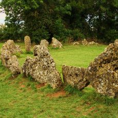
Rollright Stones
2.7 km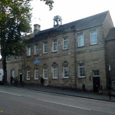
Chipping Norton Recording Studios
2.6 km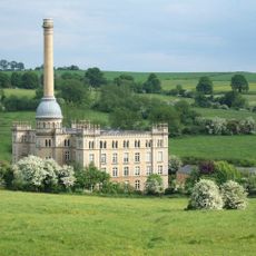
Bliss Tweed Mill
2.2 km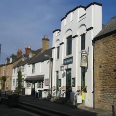
The Theatre Chipping Norton
2.7 km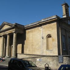
Town Hall
2.8 km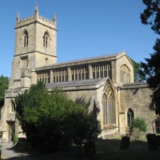
Church of St Mary, Chipping Norton
2.5 km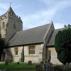
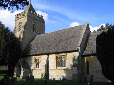
Church of St Mary
256 m
Church of St Philip
1.9 km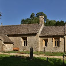
Church of St Peter
1.8 km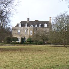
Cornwell Manor
2 km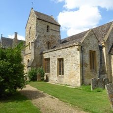
Church of St Denis
3.3 km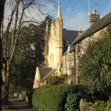
Baptist Church
2.5 km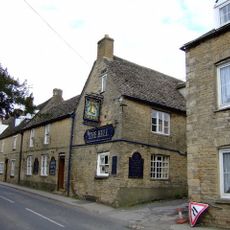
The Bell Public House
2.8 km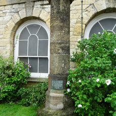
Stone Pillar And Base Of Wayside Cross
2.8 km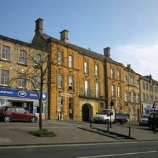
White Hart Hotel
2.8 km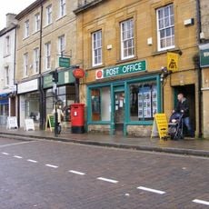
The Playpen
2.8 km
The Bunch Of Grapes Public House
2.8 km
Guildhall
2.8 km
Co-op
2.8 km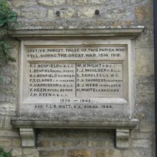
Over Norton War Memorial
2.8 km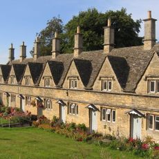
Chipping Norton Almshouses
2.7 km
National Westminster Bank
2.7 km
Delicatessen
2.8 km
63, New Street
2.6 km
Co-op Shoes
2.8 km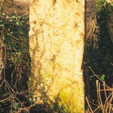
Milestone, 200m SE of The Cross Hands PH & Chastleton Quarry (jct A436); close to lane for Hollis Hill Farm
1.7 km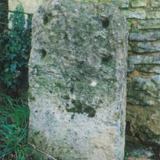
Milestone, Worcester Road; drive to No. 33, Chipping Norton Common
1.6 km
Milestone, 100m S of crossroads where Turnpike Cottage stands on road leading to Whispering Knights
2.4 kmVisited this place? Tap the stars to rate it and share your experience / photos with the community! Try now! You can cancel it anytime.
Discover hidden gems everywhere you go!
From secret cafés to breathtaking viewpoints, skip the crowded tourist spots and find places that match your style. Our app makes it easy with voice search, smart filtering, route optimization, and insider tips from travelers worldwide. Download now for the complete mobile experience.

A unique approach to discovering new places❞
— Le Figaro
All the places worth exploring❞
— France Info
A tailor-made excursion in just a few clicks❞
— 20 Minutes