Stilton, village in Cambridgeshire, England
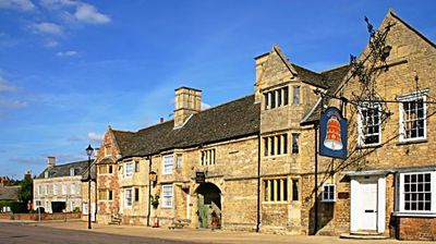
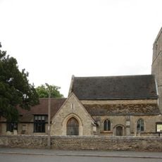
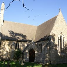
Stilton is a small village in Huntingdonshire, England, with a layout that reflects its rural roots. A medieval church stands at the heart of the settlement, surrounded by cottages and narrow streets, while the surrounding countryside remains dominated by farms and open fields.
Stilton developed as a settlement along historic trade routes and served as a stopping point for travelers and merchants moving through the region over centuries. The church and the village layout reflect this past, marking its role as a local center within the rural landscape.
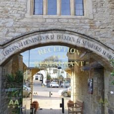
The name Stilton is linked worldwide to the famous cheese, even though production does not happen in the village itself. The community embraces this association, and local gatherings often celebrate this connection to a product known far beyond the area.
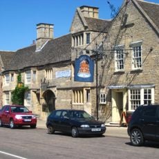
The village is small and walkable at a relaxed pace, with minimal traffic making it easy to explore on foot. Local pubs and shops in the center serve as natural gathering points, and walking paths in the surrounding countryside offer opportunities for longer explorations beyond the main settlement.
The village shares its name with a famous blue cheese that was historically produced and traded from this location centuries ago. This connection remains part of the local identity, even though cheese production moved away long ago.
The community of curious travelers
AroundUs brings together thousands of curated places, local tips, and hidden gems, enriched daily by 60,000 contributors worldwide.