
Redlynch, village and civil parish in Wiltshire, UK
Location: Wiltshire
Website: http://redlynchparishcouncil.org
GPS coordinates: 50.99100,-1.71300
Latest update: March 16, 2025 17:22

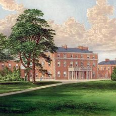
Trafalgar Park
2.9 km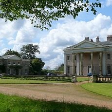
Hale Park
3.4 km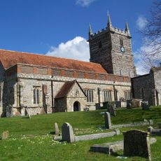
Church of St Laurence
2.1 km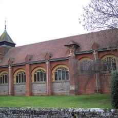
Church of St Birinus
453 m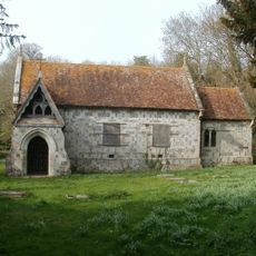
Standlynch Chapel
2.9 km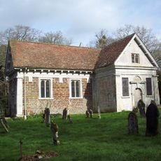
Church of St Mary
3.6 km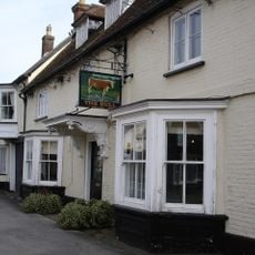
The Bull Hotel
3.1 km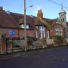
Downton Church Of England (Controlled) Primary School
2.8 km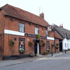
The Wooden Spoon
2.1 km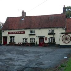
The Kings Head
87 m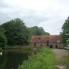
Standlynch Mill
3.1 km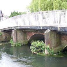
County Bridge
2.5 km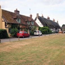
Well Cottage
3.1 km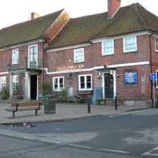
The White Horse Inn
2.7 km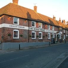
The Kings Arms
2.2 km
Cherrytree Cottage
4.8 km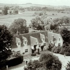
Manor House
2.2 km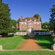
The Moot with attached kitchen
2 km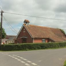
Village Hall
4.8 km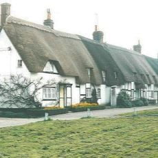
12 and 14, The Borough
3.1 km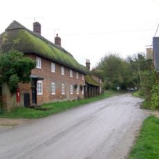
Wick Farm Cottages
3.3 km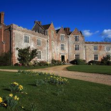
Newhouse
1.6 km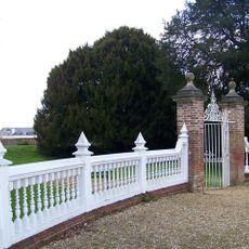
Gate And Gate Piers To Gardens Opposite The Moot
2 km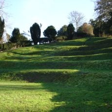
The Moot: a ringwork and bailey, earlier Roman settlement remains and later garden earthworks immediately east of the River Avon
2.2 km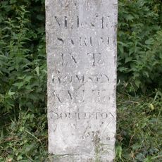
Milestone Opposite Brickworth Filling Station
3.3 km
Cymbeline
2.7 km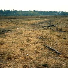
Four bowl barrows west of Breamore Hat
5.7 km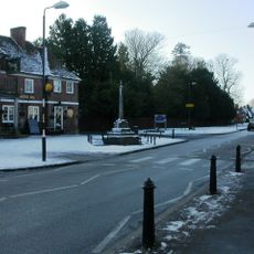
Village cross
2.8 kmVisited this place? Tap the stars to rate it and share your experience / photos with the community! Try now! You can cancel it anytime.
Discover hidden gems everywhere you go!
From secret cafés to breathtaking viewpoints, skip the crowded tourist spots and find places that match your style. Our app makes it easy with voice search, smart filtering, route optimization, and insider tips from travelers worldwide. Download now for the complete mobile experience.

A unique approach to discovering new places❞
— Le Figaro
All the places worth exploring❞
— France Info
A tailor-made excursion in just a few clicks❞
— 20 Minutes