
Churchill, village and civil parish in West Oxfordshire, Oxfordshire, England
Location: West Oxfordshire
Part of: Churchill and Sarsden
Shares border with: Kingham, Cornwell, Chipping Norton, Chadlington, Sarsden, Idbury
Website: http://churchillsarsden.com
GPS coordinates: 51.91700,-1.59000
Latest update: March 6, 2025 06:40
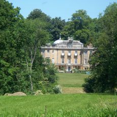
Daylesford House
3.6 km
Chipping Norton Recording Studios
4 km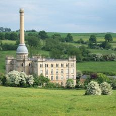
Bliss Tweed Mill
3.2 km
The Dower House
2.3 km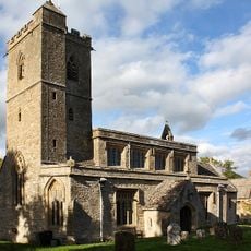
Church of St Leonard
4.2 km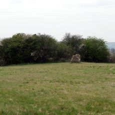
Lyneham Longbarrow
3.6 km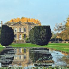
Bruern Abbey
4.3 km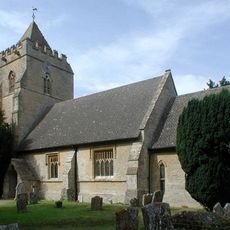
Church of St Mary
3.7 km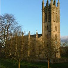
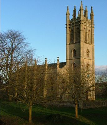
Church of All Saints
246 m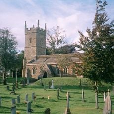
Church of St Andrew
2.5 km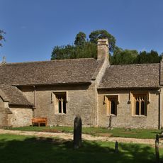
Church of St Peter
3 km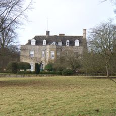
Cornwell Manor
3 km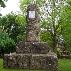
William Smith Memorial
82 m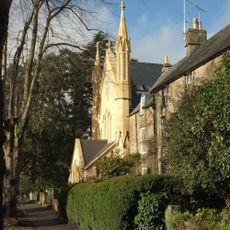
Baptist Church
4 km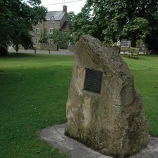
Kingham Memorial Stone
2.2 km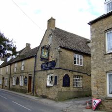
The Bell Public House
3.8 km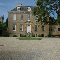
Kingham House
2.5 km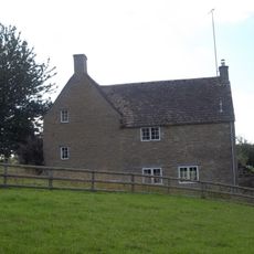
Parsonage Farmhouse
1.3 km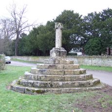
Wayside Cross At Ngr Sp 29082329
1.3 km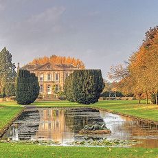
Bruern Abbey
4.4 km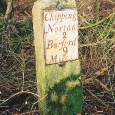
Milestone At Ngr Sp 3116 2414
2.9 km
Gilberts Farmhouse
4.2 km
House Immediately To North East Of Trinder's Farmhouse
2.3 km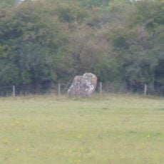
Lyneham long barrow and standing stone, 480m north east of Hill Barn
3.6 km
The Roundabout hillfort, 460m west of Barter's Hill Farm
3.4 km
63, New Street
4 km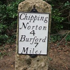
Milestone, Barters Hill Farm
3.5 km
Milestone, Worcester Road; drive to No. 33, Chipping Norton Common
3.1 kmVisited this place? Tap the stars to rate it and share your experience / photos with the community! Try now! You can cancel it anytime.
Discover hidden gems everywhere you go!
From secret cafés to breathtaking viewpoints, skip the crowded tourist spots and find places that match your style. Our app makes it easy with voice search, smart filtering, route optimization, and insider tips from travelers worldwide. Download now for the complete mobile experience.

A unique approach to discovering new places❞
— Le Figaro
All the places worth exploring❞
— France Info
A tailor-made excursion in just a few clicks❞
— 20 Minutes