
Whitfield, village and civil parish in Northamptonshire, United Kingdom
Location: West Northamptonshire
GPS coordinates: 52.04982,-1.11183
Latest update: April 17, 2025 20:24
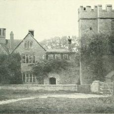
Astwell Castle
4.7 km
Biddlesden Abbey
2.2 km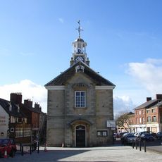
Brackley Town Hall
3.7 km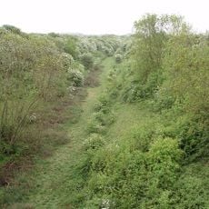
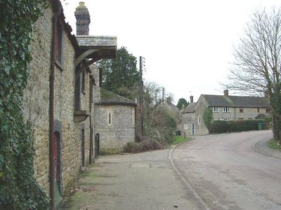
Helmdon Disused Railway
2.9 km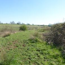
Syresham Marshy Meadows
4.4 km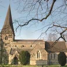
Church of St George
5 km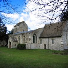
Church of St Lawrence
2.5 km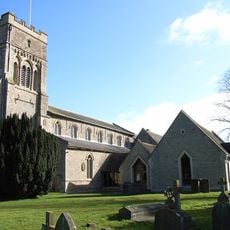
Church of St Peter
2.8 km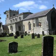
Church of St Mary Magdalene
4.3 km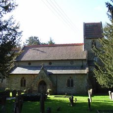
Church of St Augustine
4 km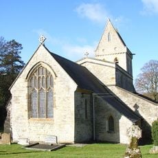
Church of St Mary
2 km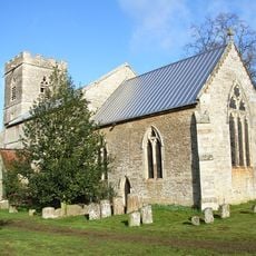
Church of All Saints
5.4 km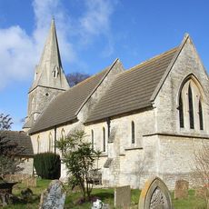
Church of St John the Evangelist
259 m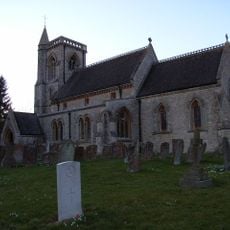
Church of St Edward
4.3 km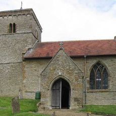
Church of Holy Trinity
5.8 km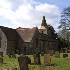
Church of St James
3.3 km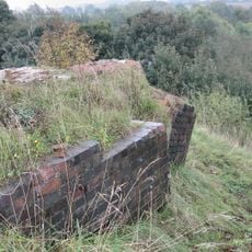
Brackley Viaduct
2.7 km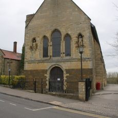
Magdalen College Chapel Of Saints John And James
3.4 km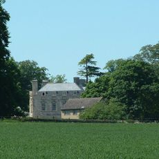
Evenley Hall
4.5 km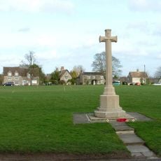
Evenley War Memorial
5.2 km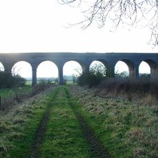
Helmdon Viaduct
5.1 km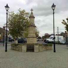
Brackley War Memorial
3.6 km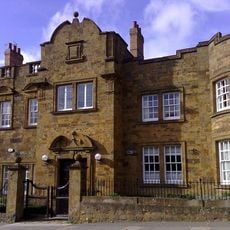
Brackley Lodge (including Gate Piers)
3.4 km
Milestone, The Pits, 100m W of Mixbury turn
6.2 km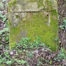
Milestone, Hoppesford Bridge, near lay-by, N of stream
1.1 km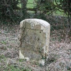
Milestone, Brackley Road; half mile E of Westbury village
3.8 km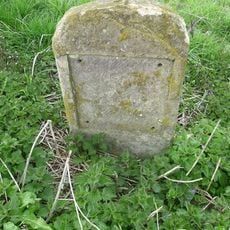
Milestone, N of Evenley roundabout
5.1 km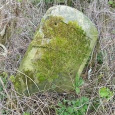
Milestone, W of Syresham
2.4 kmVisited this place? Tap the stars to rate it and share your experience / photos with the community! Try now! You can cancel it anytime.
Discover hidden gems everywhere you go!
From secret cafés to breathtaking viewpoints, skip the crowded tourist spots and find places that match your style. Our app makes it easy with voice search, smart filtering, route optimization, and insider tips from travelers worldwide. Download now for the complete mobile experience.

A unique approach to discovering new places❞
— Le Figaro
All the places worth exploring❞
— France Info
A tailor-made excursion in just a few clicks❞
— 20 Minutes