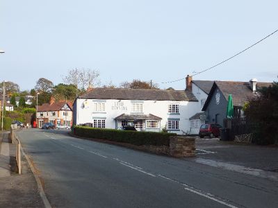
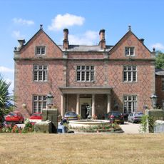
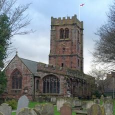
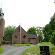
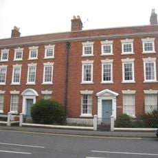
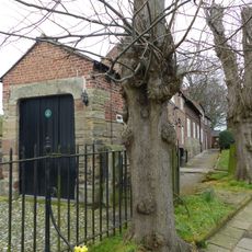
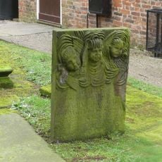
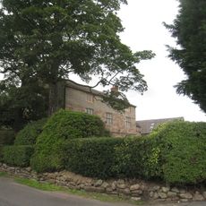
Kelsall, village and civil parish in Cheshire, UK
Location: Cheshire West and Chester
Shares border with: Tarvin, Ashton Hayes and Horton-cum-Peel, Delamere and Oakmere, Willington
GPS coordinates: 53.20700,-2.71200
Latest update: March 30, 2025 04:42
Willington Hall
2.2 km
St Andrew's Church, Tarvin
3.5 km
Kelsborrow Castle
779 m
St John the Evangelist's Church, Ashton Hayes
2.6 km
Peel Hall
3.2 km
Black Lake Nature Reserve
3.2 km
St Philip's Church, Kelsall
127 m
Church of St Cuthbert by the Forest
3 km
The Old Toll House
1.7 km
Mouldsworth Hall
3.5 km
Number 86 and attached outbuilding
3.4 km
Kelsall Lodge
1.6 km
The Flaggs and Hamilton House, and front garden walls and gates
3.6 km
Laurel House
3.5 km
Church Hall, Grammar School House and the Hearse House
3.5 km
Tombstone of Beatrix Hollinsworth 12 metres west door of Church of St Andrew
3.5 km
Ashton Hall Farmhouse
2.1 km
Milepost 45 Metres West Of Kelsall Lodge
1.6 km
Sundial in the churchyard of St Andrew
3.5 km
Ashton Village Hall
2.5 km
Kelsall Hall
684 m
76, High Street
3.5 km
78 and 80, High Street
3.4 km
Tombchest of William Sandbach and others, 5m south-east of sundial in churchyard of St Andrew
3.5 km
Lock up on the end of the barn at Weldon House
575 m
Milepost, Tarvin Sands
3 km
Milepost, S of Ashton Village
2.3 km
Milepost, Chester Road
102 mReviews
Visited this place? Tap the stars to rate it and share your experience / photos with the community! Try now! You can cancel it anytime.
Discover hidden gems everywhere you go!
From secret cafés to breathtaking viewpoints, skip the crowded tourist spots and find places that match your style. Our app makes it easy with voice search, smart filtering, route optimization, and insider tips from travelers worldwide. Download now for the complete mobile experience.
A unique approach to discovering new places❞
— Le Figaro
All the places worth exploring❞
— France Info
A tailor-made excursion in just a few clicks❞
— 20 Minutes