Enable Location

We need your location to show you interesting places around you

Discover nearby places

Find interesting locations and hidden gems around you

Precise directions

Get accurate directions and distances to places

Your location is never shared with other users. It's only used when you tap the location button.

Cheshire West and Chester

Log in to your account

Join the adventure

Create your free account and start exploring (like 60k+ others)

We will send you a code to connect

or
Continue with Google
Continue with Apple
By continuing, you accept our Terms and Conditions and our Privacy Policy

Check your inbox

We've sent a pincode in your inbox. Please enter the code below.

Cheshire West and Chester, Administrative borough in Cheshire, England

Description

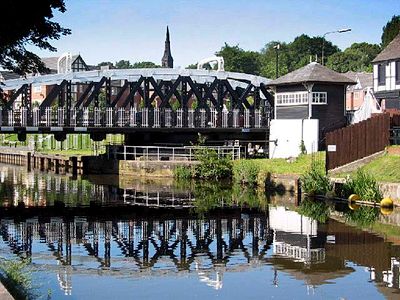
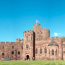
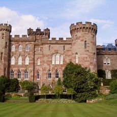
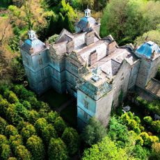
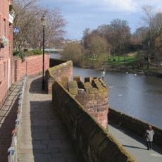
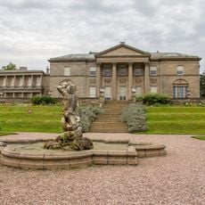
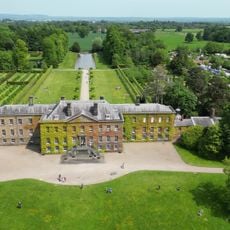
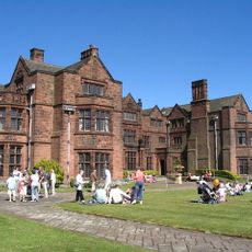
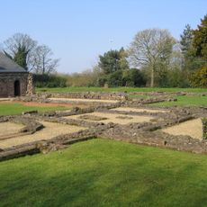
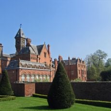
Cheshire West and Chester is an administrative area in northwestern England that includes the historic city of Chester, the industrial town of Ellesmere Port, Northwich, and many smaller villages and rural communities. The territory spans rolling countryside with river valleys, combining older town centers with modern residential areas and green spaces.

History

This administrative area was created in 2009 when three former districts—Chester, Ellesmere Port and Neston, and Vale Royal—merged under England's local government reorganization. The consolidation aimed to streamline regional administration and improve service delivery across the combined territory.

Culture

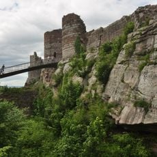
The region maintains six Local Nature Reserves, including Burton Mill Wood and Helsby Quarry, which provide natural spaces for community activities and environmental education.

Practical

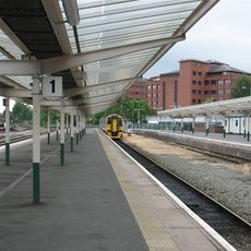
Chester railway station connects to major cities in the region, making travel straightforward for visitors arriving by train. The area has good road access, with parking readily available in town centers and villages throughout the region.

Did you know?

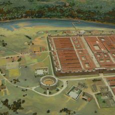
The area contains Britain's oldest rock salt mine at Winsford, which has operated for centuries and remains in use today for national supply needs. This working mine offers a glimpse into the region's geological and industrial heritage.

Location
Inception
2009
Capital city
Chester
Shares border with
Cheshire East, Shropshire, Wrexham County Borough, Flintshire, Merseyside, Halton, Warrington
GPS coordinates
53.21300,-2.90200
Latest update
December 17, 2025 10:29

AroundUs brings together thousands of curated places, local tips, and hidden gems, enriched daily by 60,000 contributors worldwide. Discover all places nearby (Cheshire).

« Cheshire West and Chester - Administrative borough in Cheshire, England » is provided by Around Us (aroundus.com). Images and texts are derived from Wikimedia project under a Creative Commons license. You are allowed to copy, distribute, and modify copies of this page, under the conditions set by the license, as long as this note is clearly visible.

Discover hidden gems everywhere you go!

From secret cafés to breathtaking viewpoints, skip the crowded tourist spots and find places that match your style. Our app makes it easy with voice search, smart filtering, route optimization, and insider tips from travelers worldwide. Download now for the complete mobile experience.

Around Us App Screenshot

A unique approach to discovering new places

Le Figaro

All the places worth exploring

France Info

A tailor-made excursion in just a few clicks

20 Minutes

Around Us
Travel Guide & Maps
Download

Send to your phone

QR Code
1

Open the camera app on your mobile.

2

Point at the QR code with your camera. A notification will appear.

3

Tap the notification to open the link.