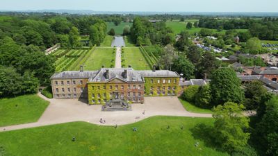
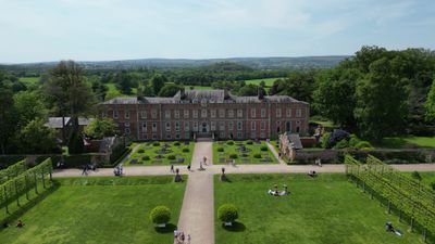
Erddig, Country house in Marchwiel, United Kingdom.
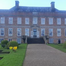
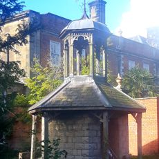
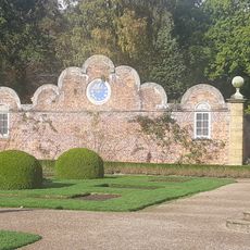
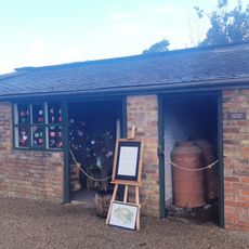
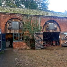
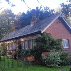
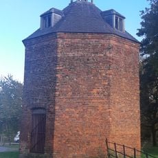
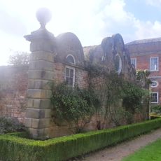
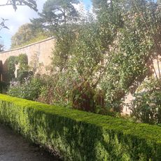
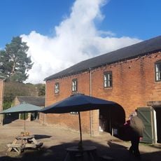
Erddig is a country house in Marchwiel, Wales, with red brick walls, stone dressings, and a symmetrical front elevation featuring different styles of dormers. The estate also includes outbuildings, stables, a walled garden, and a service wing that together form a complete working estate.
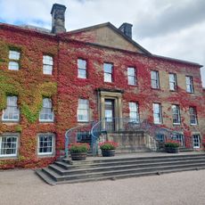
Thomas Webb built the house in 1683 for Joshua Edisbury, and John Meller later bought the estate and added two wings across two separate building campaigns. The Yorke family then lived there for nearly two centuries before the National Trust took it over in the 1970s.
The former servants' quarters are decorated with portraits and poems dedicated to household staff from the 1700s and 1800s, which is very rare for a house of this type. This part of the house gives a clear sense of how the people who worked there were seen and remembered by the family.
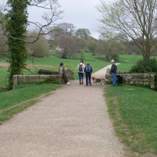
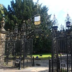
The estate is managed by the National Trust and offers guided access to the interiors as well as open access to the grounds and walled garden. It is worth allowing enough time to visit both the main house and the outbuildings, since each part tells a different side of the story.
In the early 1900s, decorative tin ceiling panels were installed in several rooms as a fire safety measure, replacing the need for ornate plasterwork. These patented panels are still in place today and show an approach to fire protection that was rarely used in country houses of this size.
The community of curious travelers
AroundUs brings together thousands of curated places, local tips, and hidden gems, enriched daily by 60,000 contributors worldwide.