
Westwell, village and civil parish in West Oxfordshire, Oxfordshire, England, UK
Location: West Oxfordshire
Shares border with: Burford, Holwell
GPS coordinates: 51.78900,-1.67500
Latest update: March 9, 2025 05:54
Cotswold Wildlife Park
2.2 km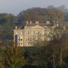
Barrington Park
4.1 km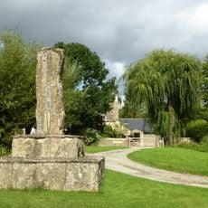
Westwell War Memorial
167 m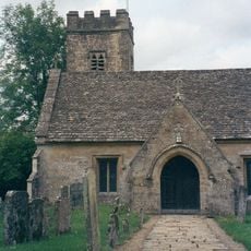
Church of St Peter
3.1 km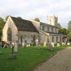
Church of St Mary
3.9 km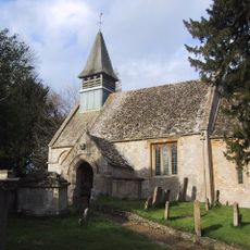
Church of St Mary
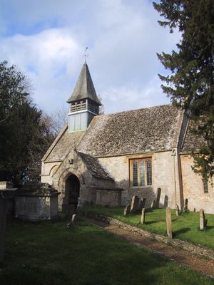
207 m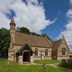
Church of St Mary, Holwell
1.2 km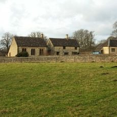
Reading Room
4 km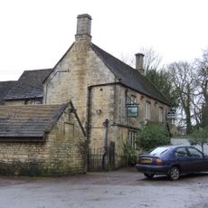
The Fox Inn
3.7 km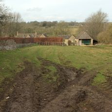
The Lower House
3.3 km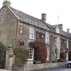
Inn For All Seasons
2.9 km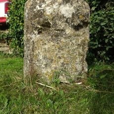
Milestone
2.8 km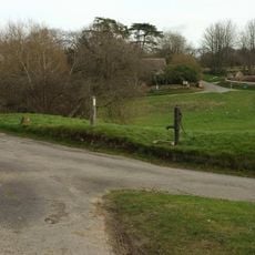
Village Pump And Stone Trough At The Western Corner Of The Green
3.3 km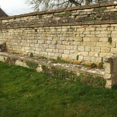
Wall Incorporating Stone Seat Forming The Northern Boundary To The Churchyard Of The Church Of St Mary
4 km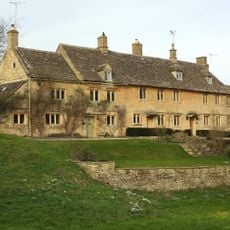
Green Close
3.3 km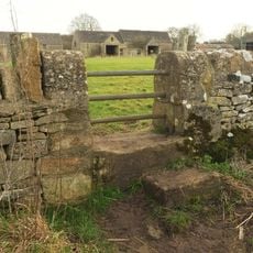
Pair Of Adjoining Barns Circa 4 Metres West Of Stable Block At Greendrive Farmhouse
3.4 km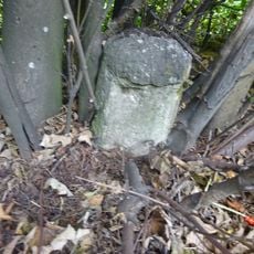
Milestone
2.3 km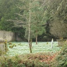
Walled Garden East Of The Church Of St Mary, Barrington Park
3.9 km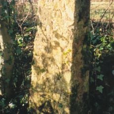
Milestone, 300m SW of Saracen Antiques & Upton Downs Farm
1.5 km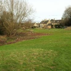
Dunford House
3.3 km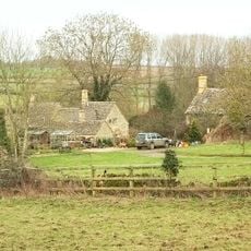
2, Minnow Lane
3.2 km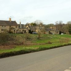
The Old Forge
3.3 km
Milestone
1.4 km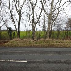
Milestone, New Covert
4.3 km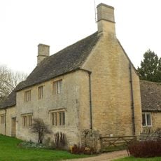
Village Farmhouse
3.3 km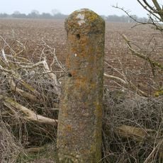
Milestone, Upton Lane
2.5 km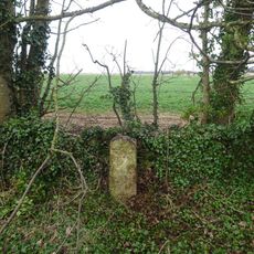
Milestone, E of Barrington; W of Hollowbarn Farm
2.7 km
Milestone, Cat's Alley Barn, opp. jct to Westwell
1.4 kmVisited this place? Tap the stars to rate it and share your experience / photos with the community! Try now! You can cancel it anytime.
Discover hidden gems everywhere you go!
From secret cafés to breathtaking viewpoints, skip the crowded tourist spots and find places that match your style. Our app makes it easy with voice search, smart filtering, route optimization, and insider tips from travelers worldwide. Download now for the complete mobile experience.

A unique approach to discovering new places❞
— Le Figaro
All the places worth exploring❞
— France Info
A tailor-made excursion in just a few clicks❞
— 20 Minutes