
Church Broughton, village and civil parish in South Derbyshire district, Derbyshire, England
Location: South Derbyshire
Shares border with: Barton Blount, Boylestone, Sudbury, Foston and Scropton, Hatton, Hoon, Sutton on the Hill
GPS coordinates: 52.90000,-1.69400
Latest update: March 7, 2025 23:20
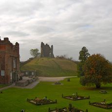
Tutbury Castle
4.5 km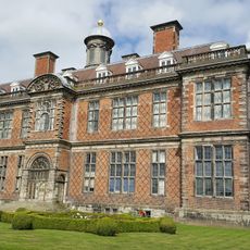
Sudbury Hall
5 km
National Trust
5.1 km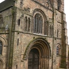
Church of St Mary
4.6 km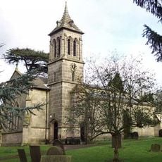
St John the Baptist's Church, Boylestone
3.3 km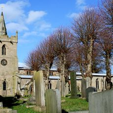
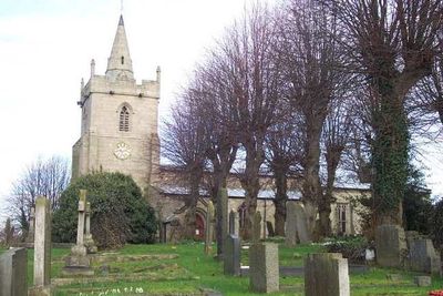
St Michael and All Angels' Church, Church Broughton
185 m
Medieval settlement, including site of chapel and part of the open field system, immediately north east of Alkmonton Old Hall Fa
4.2 km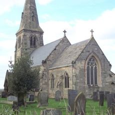
St Michael's Church, Sutton-on-the-Hill
3.1 km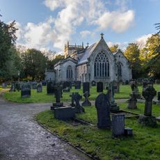
Church of All Saints, Sudbury
5.1 km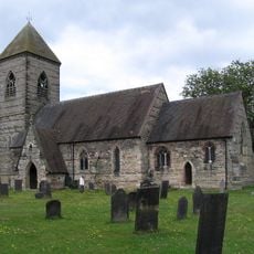
Church of St Paul
3.7 km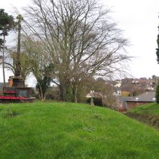
Tutbury War Memorial
4.6 km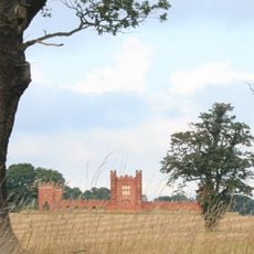
Folly Or Deercote In Park
4.5 km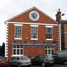
North west block of Tutbury Institute fronting street
4.7 km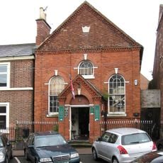
Wesleyan Methodist Chapel
4.8 km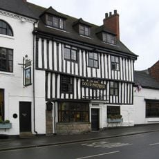
Dog And Partridge Hotel
4.8 km
Fauld Hall
5.2 km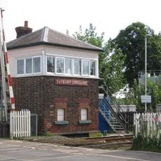
Tutbury Crossing Signal Box
4.1 km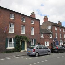
10, High Street
4.7 km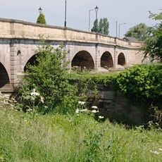
Tutbury Bridge
4.2 km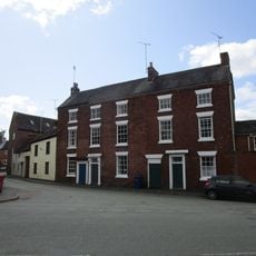
8-10, Duke Street
4.8 km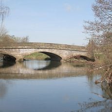
Aston Bridge
5 km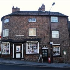
1, Duke Street
4.8 km
1, Castle Street
4.8 km
6 And 6A, High Street
4.8 km
22 And 24, High Street
4.7 km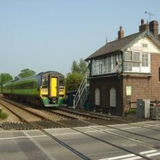
Sudbury Crossing Signal Box
5.3 km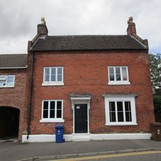
5, Monk Street
4.7 km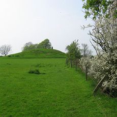
Hoon Mount platformed bowl barrow
3 kmVisited this place? Tap the stars to rate it and share your experience / photos with the community! Try now! You can cancel it anytime.
Discover hidden gems everywhere you go!
From secret cafés to breathtaking viewpoints, skip the crowded tourist spots and find places that match your style. Our app makes it easy with voice search, smart filtering, route optimization, and insider tips from travelers worldwide. Download now for the complete mobile experience.

A unique approach to discovering new places❞
— Le Figaro
All the places worth exploring❞
— France Info
A tailor-made excursion in just a few clicks❞
— 20 Minutes