
Eastrington, village in the United Kingdom
Location: East Riding of Yorkshire
GPS coordinates: 53.75997,-0.79362
Latest update: March 5, 2025 02:49
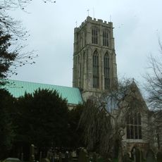
Howden Minster
5.1 km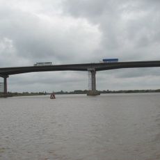
Ouse Bridge
6.7 km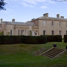
Saltmarshe Hall
6.2 km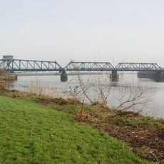
Boothferry Bridge
7.3 km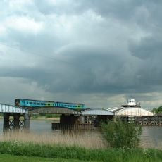
Goole railway swing bridge
6.1 km
Howden Dyke Island
6 km
Barn Hill Meadows
6.9 km
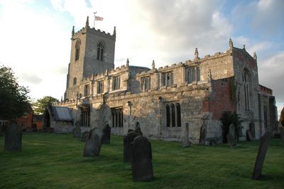
Church of St Michael
25 m
Church of St Stephen
5.3 km
Church of St Mary
5.8 km
Remains Of Old Church
4.5 km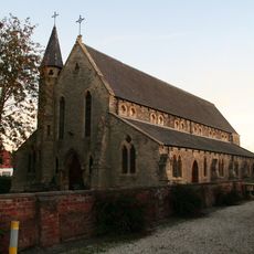
Catholic Church of the Sacred Heart
5.5 km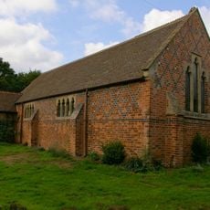
Bursea Chapel
4 km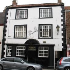
The Board Inn
5 km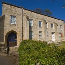
The Bishop's Manor
5.1 km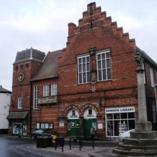
Howden Library
5 km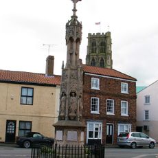
Howden War Memorial
5.1 km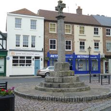
Market Cross
5 km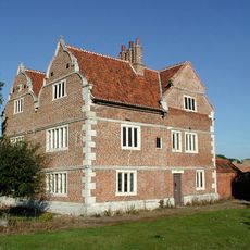
Knedlington Old Hall
6.8 km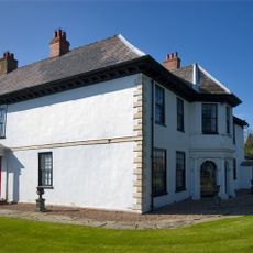
Howden Hall
4.7 km
Shire Hall
5 km
West Lodge And Gates, Gate Piers Connecting Wall And Railings And Outer Piers Immediately To West
6.3 km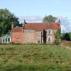
Crumble Manor
3.1 km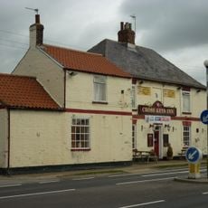
The Cross Keys
3.4 km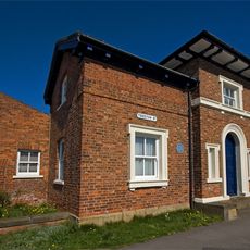
20, Treeton Road
5.4 km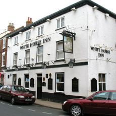
The White Horse
5 km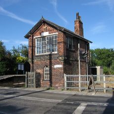
Signal Box At North Howden Station
4.4 km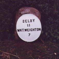
Milestone, Allberries Farm
8.5 kmVisited this place? Tap the stars to rate it and share your experience / photos with the community! Try now! You can cancel it anytime.
Discover hidden gems everywhere you go!
From secret cafés to breathtaking viewpoints, skip the crowded tourist spots and find places that match your style. Our app makes it easy with voice search, smart filtering, route optimization, and insider tips from travelers worldwide. Download now for the complete mobile experience.

A unique approach to discovering new places❞
— Le Figaro
All the places worth exploring❞
— France Info
A tailor-made excursion in just a few clicks❞
— 20 Minutes