Ouse Bridge, Road bridge in Goole and Airmyn, England
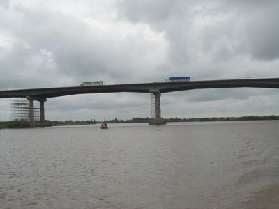
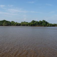
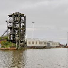
Ouse Bridge is a concrete road bridge spanning the River Ouse and linking Goole and Airmyn in Yorkshire. The structure was built to carry traffic across the water and forms part of the regional transport network today.
The bridge was constructed between 1973 and 1976 and opened to the public in May 1976. It represented a major infrastructure development that improved regional transportation links.
The bridge represents a significant part of Yorkshire's infrastructure network, connecting local communities and supporting regional economic development through efficient transportation.
The bridge carries vehicle traffic across the river and can experience different weather conditions, so be prepared for varying circumstances when crossing. It is best visited during clear weather when you can observe the structure and surroundings more clearly.
The bridge has four piers in the water and 29 spans, making it a technically intricate structure for its setting. American floating cranes were brought in during construction, an unusual choice for an English infrastructure project.
The community of curious travelers
AroundUs brings together thousands of curated places, local tips, and hidden gems, enriched daily by 60,000 contributors worldwide.