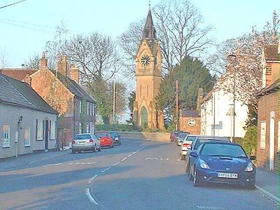
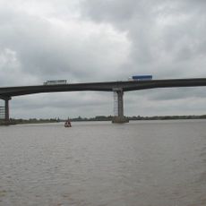
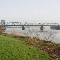
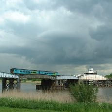
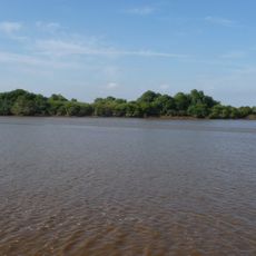
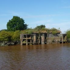
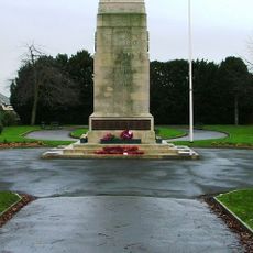
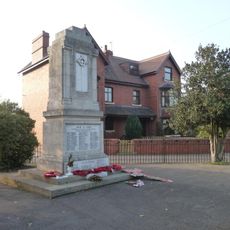
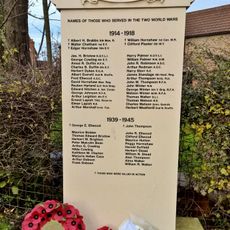
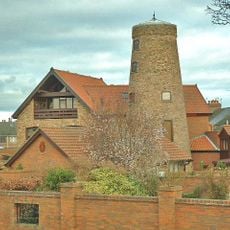
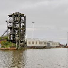
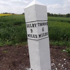
Airmyn, village in East Riding of Yorkshire, England, UK
Location: East Riding of Yorkshire
GPS coordinates: 53.71924,-0.90049
Latest update: March 14, 2025 04:20
Ouse Bridge
1.7 km
Boothferry Bridge
1.1 km
Goole railway swing bridge
3.9 km
Church of St John
2.7 km
Howden Dyke Island
2.6 km
Long Drax swing bridge
4.9 km
Yorkshire Waterways Museum
2.8 km
West Park
1 km
Barn Hill Meadows
3.3 km
Church of St Peter and St Paul
5.2 km
Church of St David
176 m
Church of St James
4.8 km
Church of St Mary
3.3 km
Catholic Church of the Sacred Heart
3.2 km
Lowther Hotel
2.9 km
Brick Water Tower
2.4 km
Hydraulic Accumulator Tower Approximately 20 Metres East Of South Dock Basin
3 km
Goole Cenotaph
1.8 km
Junction, Goole
2.5 km
Rawcliffe War Memorial
5.2 km
Asselby Roll of Honour
2.9 km
Windmill Tower Approximately 30 Metres North West Of Junction With Axholme Street
2.9 km
Knedlington Old Hall
2.8 km
Boat Hoist On South Side Of South Dock
3 km
Concrete Water Tower
2.4 km
20, Treeton Road
3.3 km
Coal Wagon Hoist, Adjoining Railway Approach And Control Boxes
2.7 km
Milepost Approximately 50 Metres South-East Of Cowick Primary School
7.5 kmVisited this place? Tap the stars to rate it and share your experience / photos with the community! Try now! You can cancel it anytime.
Discover hidden gems everywhere you go!
From secret cafés to breathtaking viewpoints, skip the crowded tourist spots and find places that match your style. Our app makes it easy with voice search, smart filtering, route optimization, and insider tips from travelers worldwide. Download now for the complete mobile experience.
A unique approach to discovering new places❞
— Le Figaro
All the places worth exploring❞
— France Info
A tailor-made excursion in just a few clicks❞
— 20 Minutes