
Smarden, village in Kent, England, UK
Location: Ashford
Shares border with: Headcorn
GPS coordinates: 51.17610,0.75780
Latest update: March 4, 2025 18:35
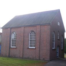
Ebenezer Chapel
9.1 km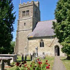
Church of St Michael
5.8 km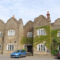
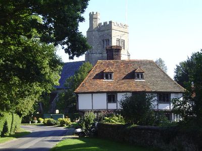
The Dering Arms Inn
2.2 km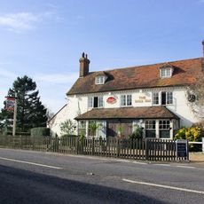
The Bull Inn
5.7 km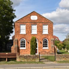
The Baptist Chapel
9.3 km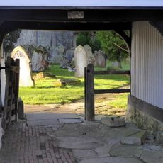
Browns Stores Parsonage House
5.8 km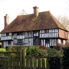
Link House
3.5 km
Chessenden
5.5 km
RAF Lashenden Memorial
8.1 km
The Cloth Hall
5.9 km
Biddenden Green Farmhouse
4.8 km
The Thatched House
6.1 km
Vane Court
8.6 km
Rose Farmhouse
1.9 km
The Manse
9.3 km
Hartnup House
5.9 km
Dragon Cottage Dragon House
5.7 km
Little East End Farmhouse
8.2 km
Mundy Bois House
2.2 km
Cooper Farmhouse
2 km
Rose Court
892 m
West Hoy Farmhouse
7.5 km
Swift's Green Farmhouse
5.9 km
Ragged House Farmhouse
2.6 km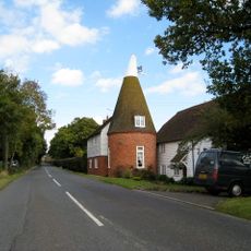
Oasthouse Adjoining Bakers Mead
1.5 km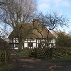
The Old House
4.6 km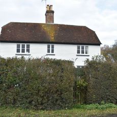
Dodges Farmhouse
4.9 km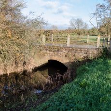
Sherway Bridge
6.1 kmVisited this place? Tap the stars to rate it and share your experience / photos with the community! Try now! You can cancel it anytime.
Discover hidden gems everywhere you go!
From secret cafés to breathtaking viewpoints, skip the crowded tourist spots and find places that match your style. Our app makes it easy with voice search, smart filtering, route optimization, and insider tips from travelers worldwide. Download now for the complete mobile experience.

A unique approach to discovering new places❞
— Le Figaro
All the places worth exploring❞
— France Info
A tailor-made excursion in just a few clicks❞
— 20 Minutes