Enable Location

We need your location to show you interesting places around you

Discover nearby places

Find interesting locations and hidden gems around you

Precise directions

Get accurate directions and distances to places

Your location is never shared with other users. It's only used when you tap the location button.

Log in to your account

Start exploring — it's free

Trusted by 63,444 travelers worldwide

Continue with Google
Continue with Apple
or

We will send you a code to connect

By continuing, you accept our Terms and Conditions and our Privacy Policy

Check your inbox

We've sent a pincode in your inbox. Please enter the code below.

Discussion Reviews Photo
12k Popularity

Ashford, Administrative district in Kent, England

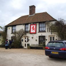
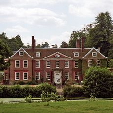
Ashford is an administrative district in southeast England that encompasses the town of Ashford, the historic town of Tenterden, and many rural villages scattered throughout the region. The area combines urban centers with farmland and traditional settlements.

The district took its current form in 1974 when five separate administrative areas were combined into one. This reorganization created modern Ashford by merging urban districts, rural areas, and older municipal boroughs.

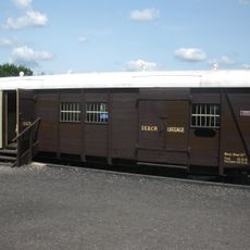
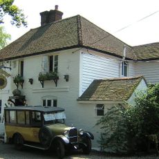
The area reflects its agricultural roots through distinctive oast houses, traditional hop-drying kilns that still dot the countryside today. These structures remain defining features of the local landscape and community identity.

The area is well connected by rail through Ashford International Station, which offers direct connections to major destinations. Road access is straightforward thanks to the proximity of the M20 motorway.

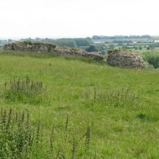
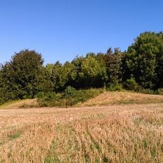
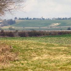
The district contains sections of two protected natural areas: the Kent Downs in the northeast and the High Weald in the southwest. Each of these regions displays distinct landscape character and ecology.

The community of curious travelers

AroundUs brings together thousands of curated places, local tips, and hidden gems, enriched daily by 60,000 contributors worldwide.

Start exploring
Location
Capital city
Ashford
GPS coordinates
51.14650,0.86760
Latest update
December 7, 2025 20:47
Reviews
Share your experience

No review yet

Discussions
Start a discussion...

No discussion yet

« Ashford - Administrative district in Kent, England » is provided by Around Us (aroundus.com). Images and texts are derived from Wikimedia project under a Creative Commons license. You are allowed to copy, distribute, and modify copies of this page, under the conditions set by the license, as long as this note is clearly visible.

Discover hidden gems everywhere you go!

From secret cafés to breathtaking viewpoints, skip the crowded tourist spots and find places that match your style. Our app makes it easy with voice search, smart filtering, route optimization, and insider tips from travelers worldwide. Download now for the complete mobile experience.

Around Us App Screenshot

A unique approach to discovering new places

Le Figaro

All the places worth exploring

France Info

A tailor-made excursion in just a few clicks

20 Minutes

Around Us
Travel Guide & Maps
Download

Send to your phone

QR Code
1

Open the camera app on your mobile.

2

Point at the QR code with your camera. A notification will appear.

3

Tap the notification to open the link.