
Stonesfield, village and civil parish in West Oxfordshire, England
Location: West Oxfordshire
Shares border with: Spelsbury, Fawler, North Leigh, Combe, Wootton, Glympton, Kiddington with Asterleigh
Website: http://stonesfield.info
GPS coordinates: 51.85100,-1.42900
Latest update: April 14, 2025 16:59
Ditchley
4.1 km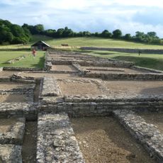
North Leigh Roman Villa
1.7 km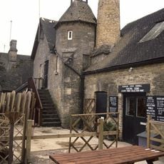
Combe Mill
3 km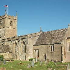
St Laurence's Church
2.3 km
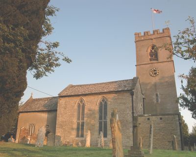
Church of St James the Great
82 m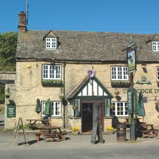
The Cock Inn
2.1 km
Church of St Peter
2.9 km
Church of St Mary, Wootton, Oxfordshire
5.3 km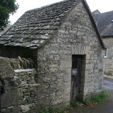
Lockup approximately 20 metres north east of Church of Saint James the Great
67 m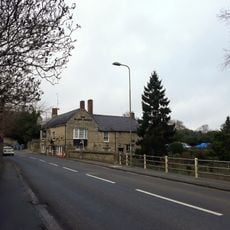
The Black Horse Public House
4.8 km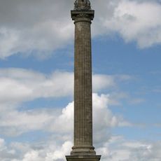
Column Of Victory
4.1 km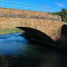
Railway Bridge At Sp 3719 1682
2.2 km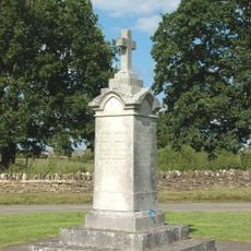
Combe War Memorial
2.1 km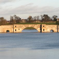
Grand Bridge
4.5 km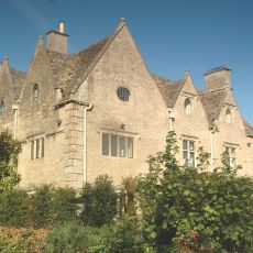
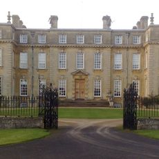
Finstock Manor House
3.3 km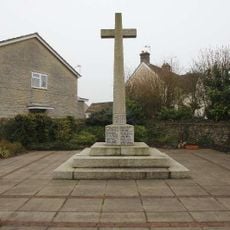
Long Hanborough War Memorial
3.8 km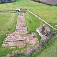
Stonesfield Roman villa
517 m
Old Bakery
317 m
Egypt
4.3 km
Park Walls, Surrounding Blenheim Park
2.4 km
Parrotts
5.2 km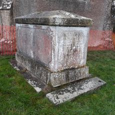
Church of Lawrence, Chest Tomb Approximately 10 North North East of Nave
2.3 km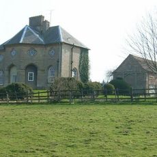
Lodge Farmhouse
2.9 km
The Homestead
4.3 km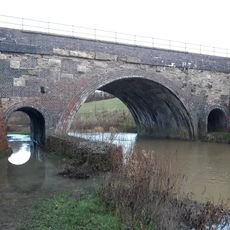
River Evenlode railway bridge SP398155
1.6 km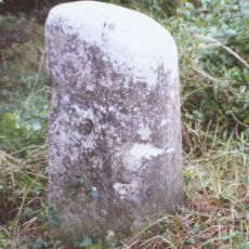
Milestone, Hill Wood
4.8 km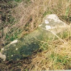
Milestone, Fawler Road; Cornbury Park, up hill from Finstock Station and 30m N of lay-by
3.3 km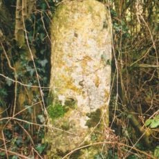
Milestone, Witney Road; Freeland, E of Telephone Exchange
3.4 kmReviews
Visited this place? Tap the stars to rate it and share your experience / photos with the community! Try now! You can cancel it anytime.
Discover hidden gems everywhere you go!
From secret cafés to breathtaking viewpoints, skip the crowded tourist spots and find places that match your style. Our app makes it easy with voice search, smart filtering, route optimization, and insider tips from travelers worldwide. Download now for the complete mobile experience.

A unique approach to discovering new places❞
— Le Figaro
All the places worth exploring❞
— France Info
A tailor-made excursion in just a few clicks❞
— 20 Minutes