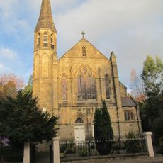
Bollington, town and civil parish in Cheshire, England
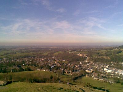
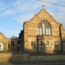
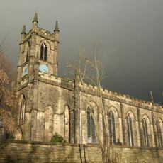
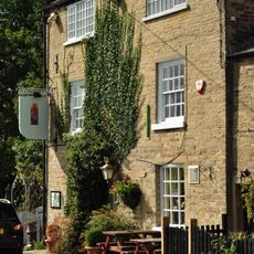
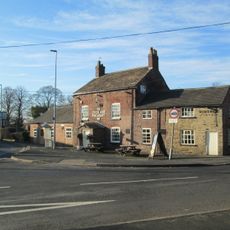
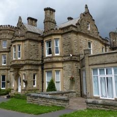
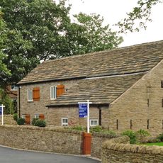
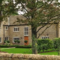
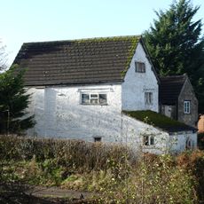
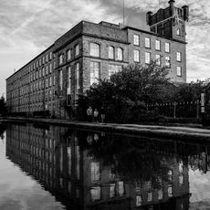
Bollington is a small town in Cheshire East, England, sitting among hills at the western edge of the Peak District. It is built largely from local stone, with a main street lined with shops and pubs and a number of former textile mill buildings spread across the hillside.
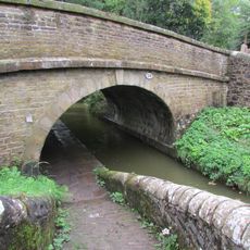
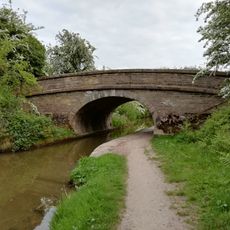
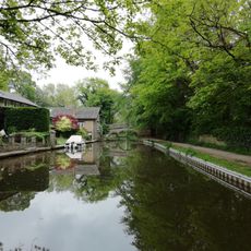
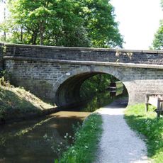
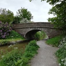
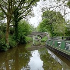
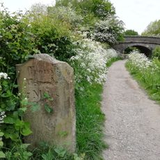
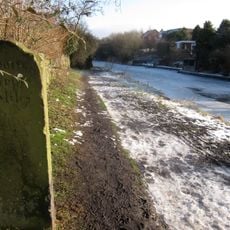
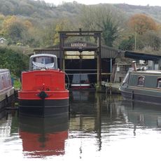
Bollington grew into an industrial town in the 18th and 19th centuries, driven mainly by cotton weaving and the quarrying of local stone. The opening of the Macclesfield Canal gave the town a direct trade route that helped sustain its mills during their most active years.
Several former mill buildings have been converted into homes and small businesses, and their stone facades still give the streets a working-town feel. Brass bands are a living tradition here, performing at local events throughout the year and drawing people together across generations.
Bollington is reachable by bus from Macclesfield and sits close enough to the Peak District that walks into open countryside start directly from town. The towpath along the Macclesfield Canal is flat and easy to follow, making it a good option in most weather conditions.
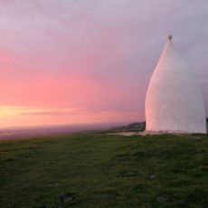
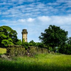
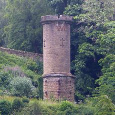
White Nancy, the white dome-shaped tower on Kerridge Hill, was originally built hollow and intended to be used as a summerhouse after the Battle of Waterloo in 1815. It was later filled with stone to prevent vandalism, so today only the outside can be seen, but the hilltop view over the surrounding area is still worth the climb.
The community of curious travelers
AroundUs brings together thousands of curated places, local tips, and hidden gems, enriched daily by 60,000 contributors worldwide.