
West Challow, village and civil parish in Vale of White Horse district, Oxfordshire, England
Location: Vale of White Horse
Shares border with: East Challow, Denchworth, Goosey, Stanford in the Vale, Childrey, Letcombe Bassett, Letcombe Regis
GPS coordinates: 51.59200,-1.47200
Latest update: March 25, 2025 03:33
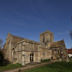
Church of St Peter and St Paul
3 km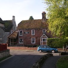
Vale and Downland Museum
3.1 km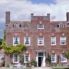
Manor Farmhouse
352 m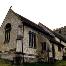
Church of St Andrew
2.2 km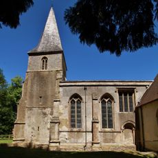
Church of the Holy Rood
2.1 km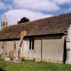
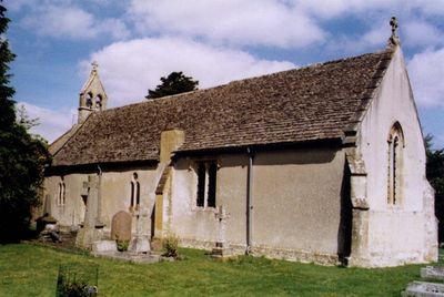
Church of St Laurence
67 m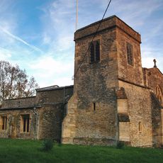
Church of St James
3.7 km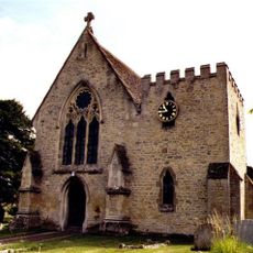
Church of St Nicholas
1.4 km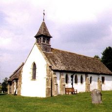
Church of All Saints
3.6 km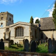
Church of St Mary
813 m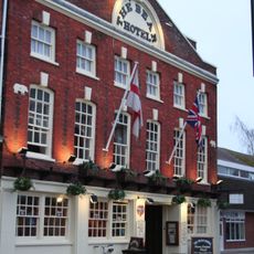
The Bear Hotel
3.1 km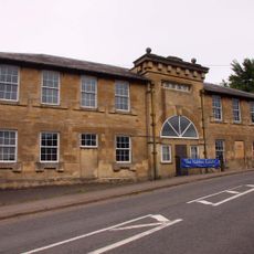
Challow Industries
1.4 km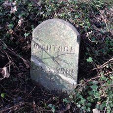
Milestone At Su 3845 8765
1.9 km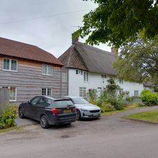
Mallards Cottage And The Old Post Office
858 m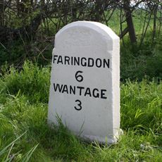
Milestone At Su 3612 9010
1.9 km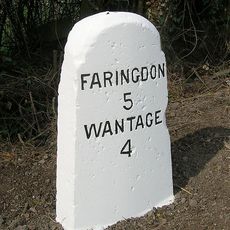
Milestone At Su 3505 9126
3.4 km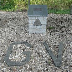
RAF Grove Memorial
2.1 km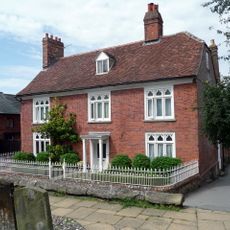
Number 2 and attached wall
3 km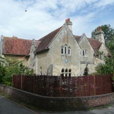
The Vicarage
3 km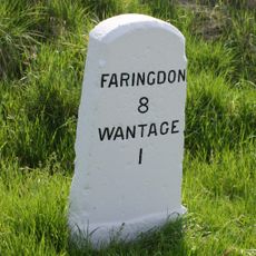
Milestone At Sp 3819 8795
1.5 km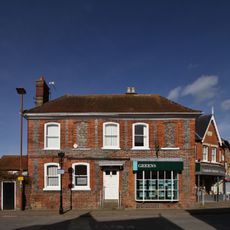
32 and 33, Market Place
3.1 km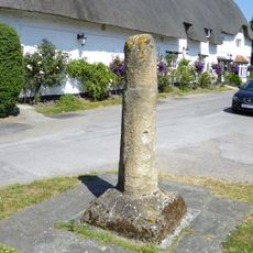
Village Cross Stump
3.8 km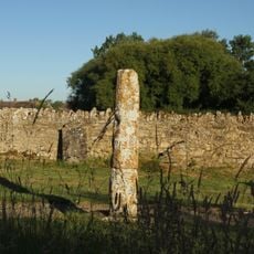
Base And Stump Of Churchyard Cross Approximately 12 Metres North Of Church Of All Saints
3.6 km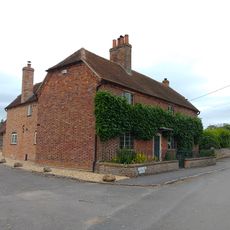
Hazeldene, With Railings Attached To Front
832 m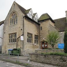
Parish Of Wantage Church Infants School
3.1 km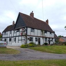
Roselea And Roselea Cottage
887 m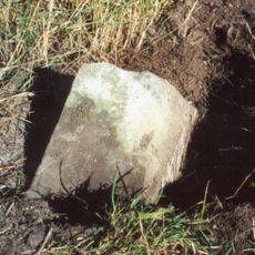
Milestone, Icknield Way; before Sparsholt X-roads
1.8 km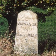
Milestone, Icknield Way; top of rise by Westcot
3.1 kmVisited this place? Tap the stars to rate it and share your experience / photos with the community! Try now! You can cancel it anytime.
Discover hidden gems everywhere you go!
From secret cafés to breathtaking viewpoints, skip the crowded tourist spots and find places that match your style. Our app makes it easy with voice search, smart filtering, route optimization, and insider tips from travelers worldwide. Download now for the complete mobile experience.

A unique approach to discovering new places❞
— Le Figaro
All the places worth exploring❞
— France Info
A tailor-made excursion in just a few clicks❞
— 20 Minutes