
Lockington, village and civil parish in East Riding of Yorkshire, UK
Location: East Riding of Yorkshire
GPS coordinates: 53.91410,-0.48666
Latest update: March 3, 2025 03:10
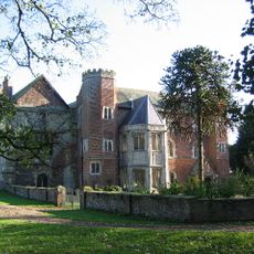
Watton Priory
3.7 km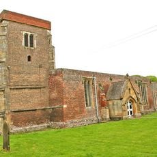
Church of St Mary
3.5 km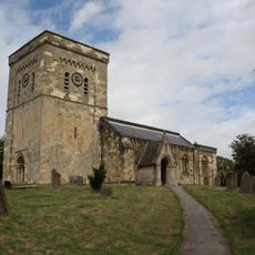
Church of St Mary
4.2 km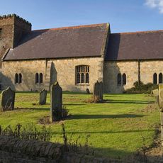
Church of All Saints
2 km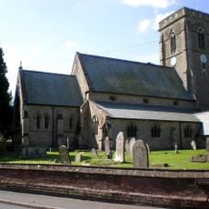
Church of Saint Michael
5.5 km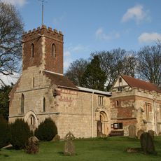
Church of St Mary
678 m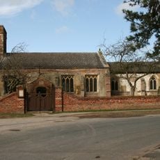
Church of St Catherine
4.3 km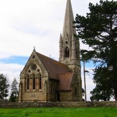
Church of St Leonard
3 km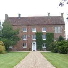
Beswick Hall
1.8 km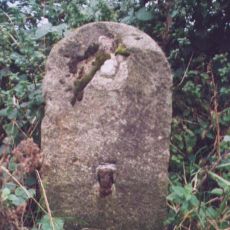
Milestone, ½ mile N of Watton
3.9 km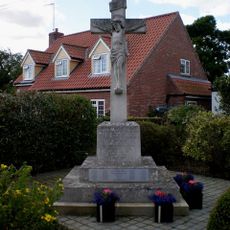
Etton (East Yorkshire) War Memorial
4.3 km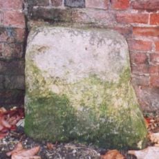
Milestone, Castle Farm, by the Smithy
4.4 km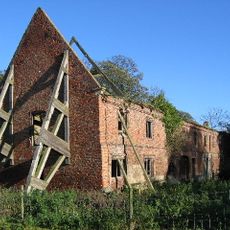
Outbuildings To Watton Abbey
3.7 km
65-69, Molescroft Road
7.3 km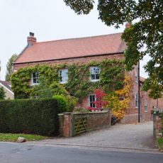
Manor Farmhouse
7.2 km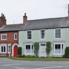
71, Molescroft Road
7.2 km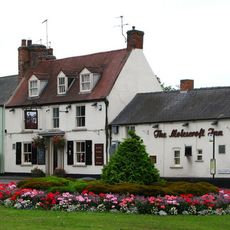
The Molescroft
7.2 km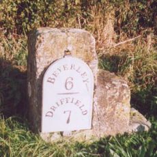
Milestone, Main Street, S end of Beswick village
1.8 km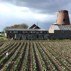
Etton Mill
4.8 km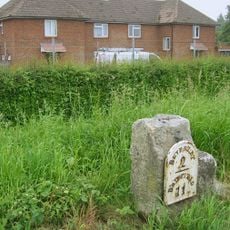
Milestone, N of Dog Kennel Lane jct.
5.8 km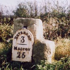
Milestone, Cherry Burton
4.6 km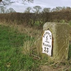
Milestone, 200m N of jct. to South Dalton
2.6 km
Milestone, ½ mile E of Kilnwick
2.1 km
Milestone, Grange Road TI, Driffield Exit
6.9 km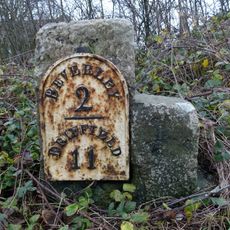
Milestone, N of entrance to Barracks
5.4 km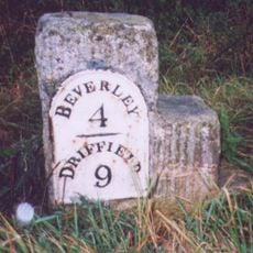
Milestone, Between Scorborough Lodge and Old Road Junction
3.3 km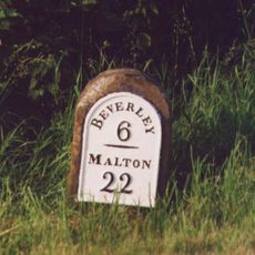
Milestone, ¼ mile N of southern jct. to Lund
2.5 km
Milestone, ¼ mile N of Leman Wood
3.3 kmVisited this place? Tap the stars to rate it and share your experience / photos with the community! Try now! You can cancel it anytime.
Discover hidden gems everywhere you go!
From secret cafés to breathtaking viewpoints, skip the crowded tourist spots and find places that match your style. Our app makes it easy with voice search, smart filtering, route optimization, and insider tips from travelers worldwide. Download now for the complete mobile experience.

A unique approach to discovering new places❞
— Le Figaro
All the places worth exploring❞
— France Info
A tailor-made excursion in just a few clicks❞
— 20 Minutes