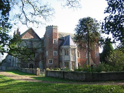
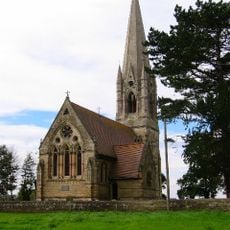
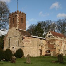
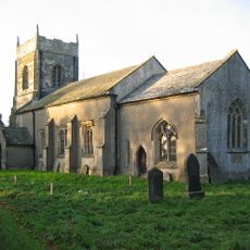
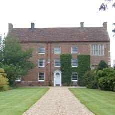
Watton Priory, Medieval religious complex in Watton, England
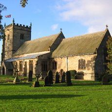
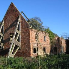
Watton Priory is a medieval monastic complex featuring architectural elements from the 14th and 15th centuries in East Riding of Yorkshire. The building was expanded with a residential house addition during the 19th century and is now listed as a Grade I historical structure.
The priory was founded in 1150 by Eustace fitz John and operated as a Gilbertine double monastery until its dissolution in 1539 under Henry VIII. This closure ended roughly four centuries of organized monastic life at the site.
The story of the Woman of Watton was documented by Ailred of Rievaulx and reveals how nuns lived and what expectations they faced in their communities. This account gives rare insight into the personal experiences of women in medieval monastic life.
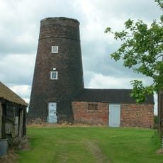
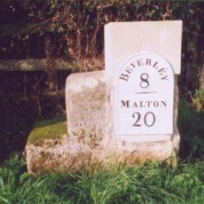
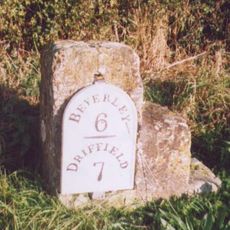
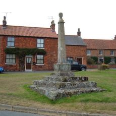
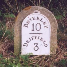
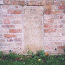
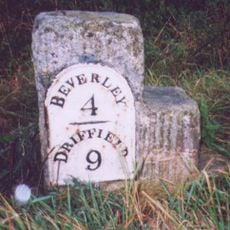
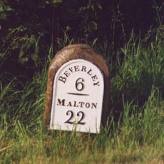
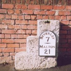
The site is located roughly 10 kilometers north of Beverley and south of Driffield, accessible via the A164 road. Access to this listed building may be limited, so visitors should check local information before planning a visit.
King Edward I chose this location as a prison for Scottish Princess Marjorie Bruce after her capture. This use as royal imprisonment connects the building to larger political conflicts between England and Scotland in the medieval period.
Location: Watton
GPS coordinates: 53.93480,-0.44277
Latest update: December 13, 2025 12:41
Church of St Mary
192 m
Church of All Saints
2.6 km
Church of All Saints
5.6 km
Church of St Peter
3.5 km
Church of St Andrew
6.3 km
Church of St Mary
6.8 km
Church of St Catherine
6.2 km
Church of St Leonard
4.6 km
Church of St Mary
4 km
Church of St Leonard
5.7 km
Beswick Hall
2.1 km
Windmill To Pit Top Farm
3.2 km
Milestone, ½ mile N of Watton
907 m
War Memorial on Cranswick Green
2.4 km
Milestone About 75 Metres East Of East Field Farm
5.3 km
Milestone, Castle Farm, by the Smithy
6.4 km
Outbuildings To Watton Abbey
45 m
Milestone, ½ mile E of Kilnwick
1.7 km
Milestone, Main Street, S end of Beswick village
2.4 km
Market Cross
5.6 km
Milestone, S of New Gawdy Hall
3.8 km
Milestone, 200m N of jct. to South Dalton
6.3 km
Milestone, ½ mile W of Kilnwick
4 km
Milestone, Bainton
6.4 km
Milestone, Between Scorborough Lodge and Old Road Junction
5.2 km
Milestone, ¼ mile N of southern jct. to Lund
6 km
Milestone, ¼ mile N of Leman Wood
6.7 km
Milestone, Lund, 15 North Road, almost opp church
5.6 kmVisited this place? Tap the stars to rate it and share your experience / photos with the community! Try now! You can cancel it anytime.
Discover hidden gems everywhere you go!
From secret cafés to breathtaking viewpoints, skip the crowded tourist spots and find places that match your style. Our app makes it easy with voice search, smart filtering, route optimization, and insider tips from travelers worldwide. Download now for the complete mobile experience.
A unique approach to discovering new places❞
— Le Figaro
All the places worth exploring❞
— France Info
A tailor-made excursion in just a few clicks❞
— 20 Minutes