
Onecote, village and civil parish in Staffordshire, UK
Location: Staffordshire Moorlands
GPS coordinates: 53.08330,-1.93333
Latest update: March 2, 2025 22:04
St Bartholomew's Church, Butterton
4 km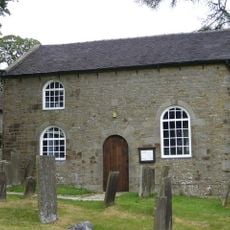
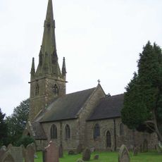
Church of St John Baptist
5.1 km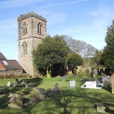
Church of St Luke
1.2 km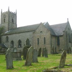
Church of St Laurence
6.2 km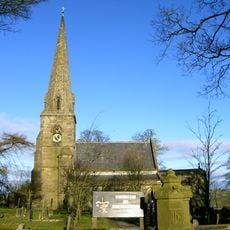
Church of All Saints
4 km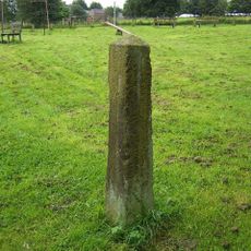
Obelisk and memorial approximately 50 yards south of Church of All Saints
4 km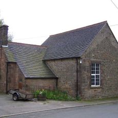
Bradnop Church
3.6 km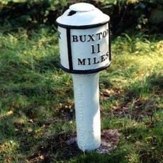
Milepost at NGR SJ 551 577
5.9 km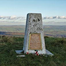
Home Guard War Memorial Affixed To Triangulation Pillar At Merryton Low
7 km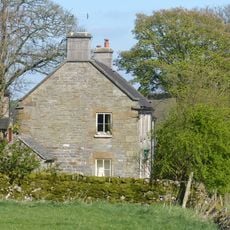
Cawbrook Farmhouse
4.4 km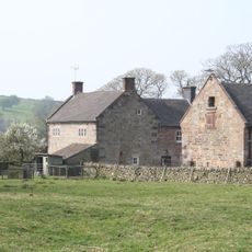
Lower Lady Meadows Farmhouse
2.2 km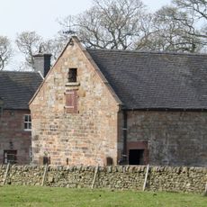
Barn Approximately 15 Metres North East Of Lower Lady Meadows Farmhouse
2.1 km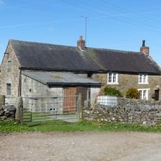
Grindley Croft
4.3 km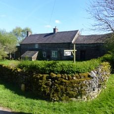
Dalefields and attached outbuildings
4.3 km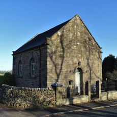
Warslow Methoist Chapel, Forecourt Wall, Railings, Gate And Gate Piers
6.1 km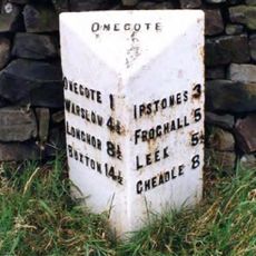
Milepost Approximately 1 1/4 Miles South Of Wetley Lane
78 m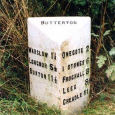
Milepost Approximately 200 Yards South West Of Brownlow Bridge
4.4 km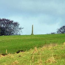
The Butter Cross, 700m north east of Stile House Farm
3.8 km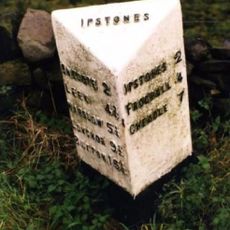
Milepost At Sk 039 525
1.6 km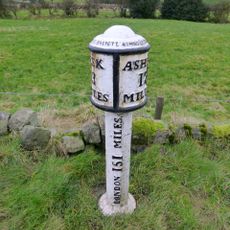
Mile Post 20 Metres South Of Cooks Lane
2.6 km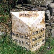
Milepost Approximately 30 Yards South Of Fold Farmhouse
1.5 km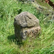
Milestone
2.5 km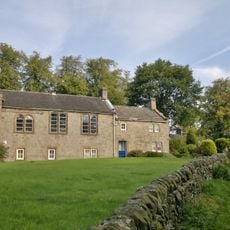
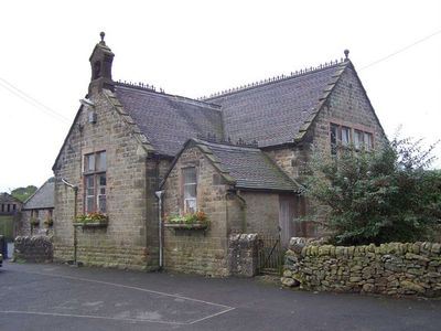
School And Attached House
6.1 km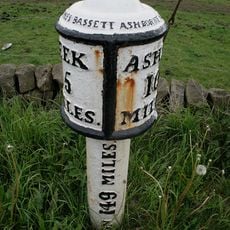
Milepost At Sk 047 524
1.5 km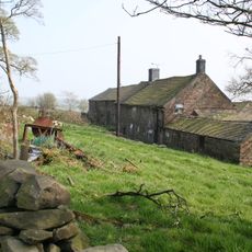
Brown Edge Farmhouse
2.7 km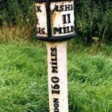
Milepost Leek 4 Miles
1.4 km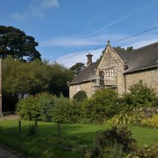
Ford Old Hall
1.9 km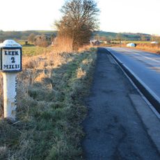
Milepost, W of Bradnop
4 kmVisited this place? Tap the stars to rate it and share your experience / photos with the community! Try now! You can cancel it anytime.
Discover hidden gems everywhere you go!
From secret cafés to breathtaking viewpoints, skip the crowded tourist spots and find places that match your style. Our app makes it easy with voice search, smart filtering, route optimization, and insider tips from travelers worldwide. Download now for the complete mobile experience.

A unique approach to discovering new places❞
— Le Figaro
All the places worth exploring❞
— France Info
A tailor-made excursion in just a few clicks❞
— 20 Minutes