Enable Location

We need your location to show you interesting places around you

Discover nearby places

Find interesting locations and hidden gems around you

Precise directions

Get accurate directions and distances to places

Your location is never shared with other users. It's only used when you tap the location button.

Log in to your account

Start exploring — it's free

Trusted by 62,013 travelers worldwide

Continue with Google
Continue with Apple
or

We will send you a code to connect

By continuing, you accept our Terms and Conditions and our Privacy Policy

Check your inbox

We've sent a pincode in your inbox. Please enter the code below.

Staffordshire Moorlands, Administrative district in Staffordshire, England.

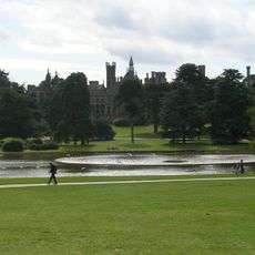
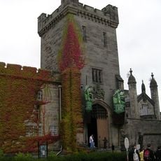
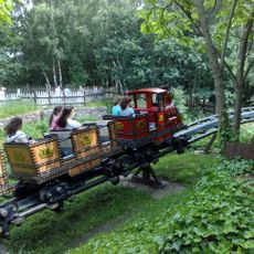
Staffordshire Moorlands is an administrative district in England's Staffordshire county, comprising upland terrain with three main towns: Leek, Biddulph, and Cheadle. The area combines these urban centers with numerous smaller villages and farming regions spread across the elevated landscape.

The district formed in 1974 through the merger of four previous administrative areas: Biddulph Urban District, Cheadle Rural District, Leek Rural District, and Leek Urban District. This consolidation resulted from broader reforms restructuring local government across England.

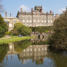
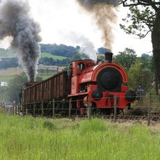
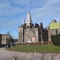
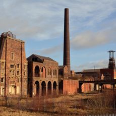
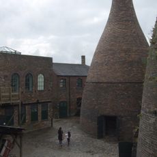
The district maintains strong agricultural traditions while supporting modern industries, with Leek serving as the administrative center from the Moorlands House building.

Visitors can find practical information and services through the Staffordshire Moorlands District Council website. The hilly terrain across the region means good planning helps when exploring multiple locations during a visit.

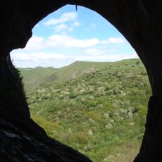
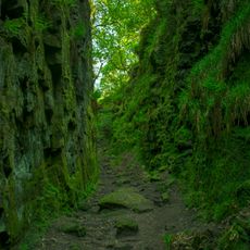
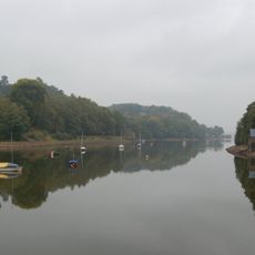
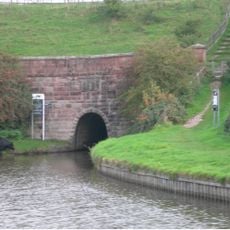
Portions of the Peak District National Park lie within this district's boundaries, offering access to protected moorland landscapes. At Cheeks Hill, the terrain reaches its highest point at approximately 520 meters elevation.

The community of curious travelers

AroundUs brings together thousands of curated places, local tips, and hidden gems, enriched daily by 60,000 contributors worldwide.

Start exploring
Location
Inception
April 1, 1974
Capital city
Leek
GPS coordinates
53.10660,-2.02668
Latest update
December 7, 2025 19:26
« Staffordshire Moorlands - Administrative district in Staffordshire, England » is provided by Around Us (aroundus.com). Images and texts are derived from Wikimedia project under a Creative Commons license. You are allowed to copy, distribute, and modify copies of this page, under the conditions set by the license, as long as this note is clearly visible.

Discover hidden gems everywhere you go!

From secret cafés to breathtaking viewpoints, skip the crowded tourist spots and find places that match your style. Our app makes it easy with voice search, smart filtering, route optimization, and insider tips from travelers worldwide. Download now for the complete mobile experience.

Around Us App Screenshot

A unique approach to discovering new places

Le Figaro

All the places worth exploring

France Info

A tailor-made excursion in just a few clicks

20 Minutes

Around Us
Travel Guide & Maps
Download

Send to your phone

QR Code
1

Open the camera app on your mobile.

2

Point at the QR code with your camera. A notification will appear.

3

Tap the notification to open the link.