Staffordshire and Worcestershire Canal, Industrial waterway in West Midlands, England.
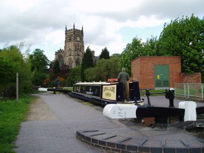
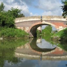
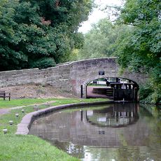
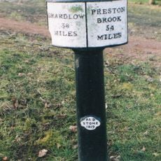
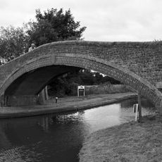
The Staffordshire and Worcestershire Canal is an industrial waterway in the West Midlands connecting the River Severn at Stourport to the Trent and Mersey Canal, running through about 46 miles of countryside. The route includes 43 locks and is navigable for boats of typical canal size, with traditional brick structures and stone features characterizing the whole length.
Engineer James Brindley designed and completed this waterway in 1771 as part of a network linking major English trading centers. The canal began commercial operation in 1772 and became an important route during the early industrial period.
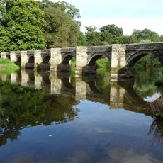
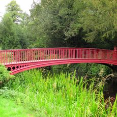
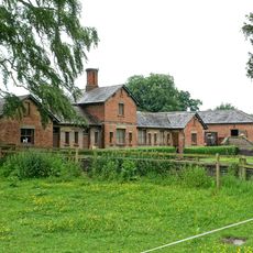
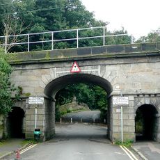
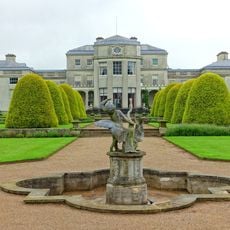
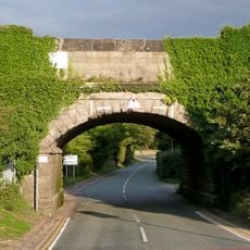
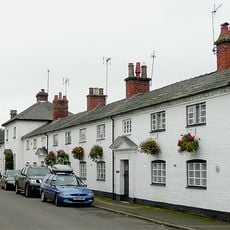
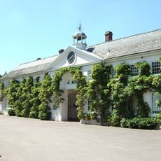
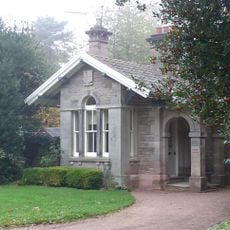
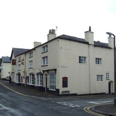
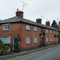
The waterway passes through landscapes dotted with traditional brick bridges and lock keeper cottages that reflect early British canal engineering. Walking along its banks, you notice sandstone cliffs and original stone structures that shape the character of the countryside.
The waterway is open for leisure boats that meet standard canal size requirements, and walkers can explore the entire route along the water's edge. It is helpful to be prepared for various walking surfaces and to carry the necessary equipment if you plan to navigate locks independently.
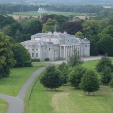
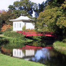
The Tixall Wide section expands into a lake-like formation that was deliberately designed to enhance views from the neighboring country estate. This detail reveals how canal builders sometimes considered the visual character of the surrounding landscape.
The community of curious travelers
AroundUs brings together thousands of curated places, local tips, and hidden gems, enriched daily by 60,000 contributors worldwide.