Brandon, town in Suffolk, England, UK
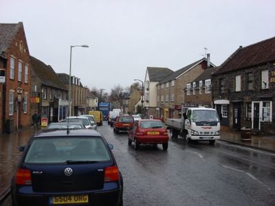
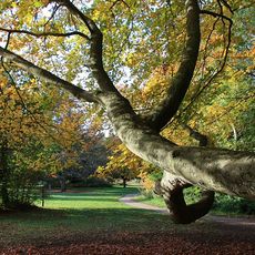
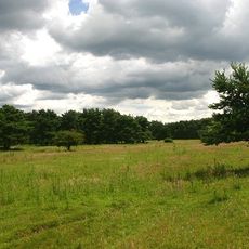
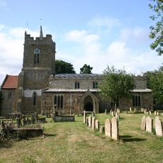
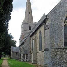
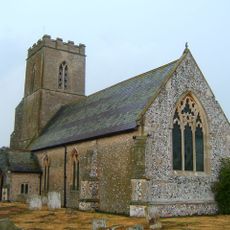
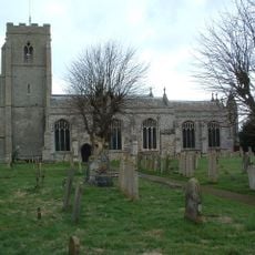
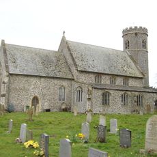
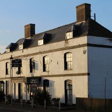
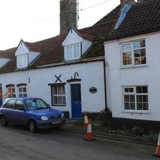
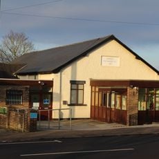
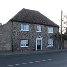
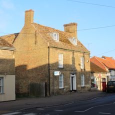
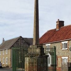
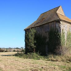
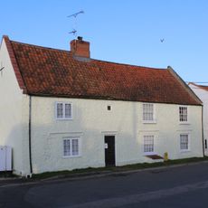
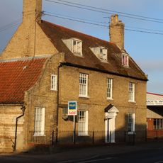
Brandon is a small town and civil parish in West Suffolk that straddles the border with Norfolk along the Little Ouse River. The streets are lined with simple buildings, many made from local flint stone with ages reaching back hundreds of years.
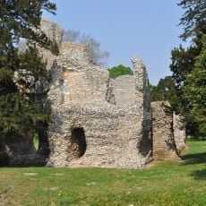
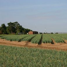
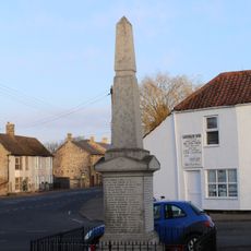
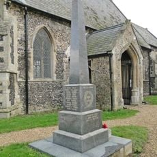
The town has deep roots in flint mining, an activity that shaped the area for thousands of years and provided material for tools and building. A major fire in 1789 destroyed many thatched homes and marked a turning point in how the town was rebuilt.
The name Brandon comes from old words meaning cleared by fire, reflecting how early settlers used fire to make space for farming and living. Walking through the streets today, you see how the community has maintained its local character with small shops and gathering places that still serve daily life.
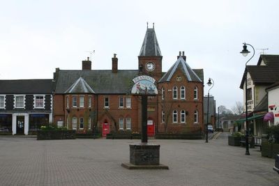
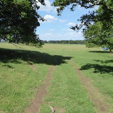
The town has railway service with regular connections to Norwich and Cambridge, making it easy to travel to other areas. Walking is the best way to explore, and you will find local shops and parks scattered throughout for a comfortable visit.
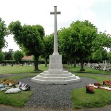
After World War Two, Polish soldiers settled in Brandon and nearby camps, creating a community that survives to this day. This connection makes it a rare place where European history remains visible in the people and traditions of the town.
The community of curious travelers
AroundUs brings together thousands of curated places, local tips, and hidden gems, enriched daily by 60,000 contributors worldwide.