Rothwell, Market town in Leeds metropolitan borough, England
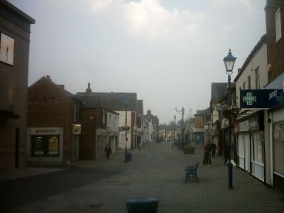
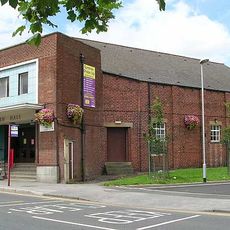
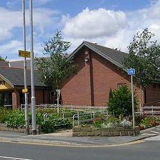
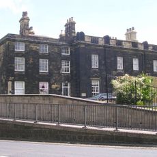
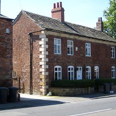
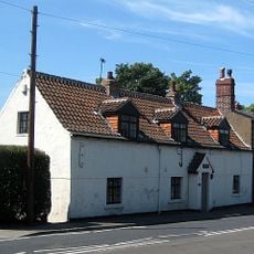
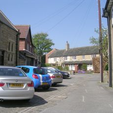
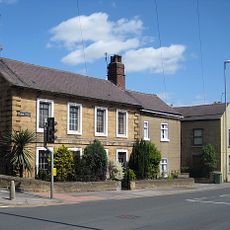
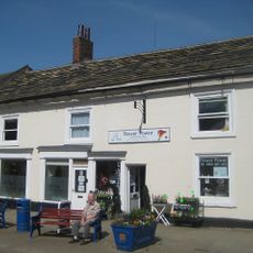
Rothwell is a market town between Leeds and Wakefield, with Commercial Street serving as the main axis through residential neighborhoods and shopping areas. The center is shaped by streets that lead to various local shops and facilities.
The settlement is recorded as Rodewelle in the Domesday Book and received its market town charter in the 15th century through royal authorization. This charter made it an officially recognized trading center in the region.
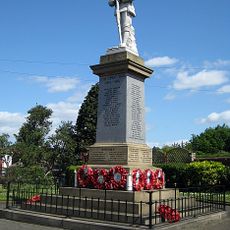
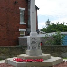
The community keeps its traditions alive through the annual Rothwell Carnival in Springhead Park and May Day celebrations near the stone cross. These events bring neighbors together and show how community life is valued here.
The town connects to Leeds and Wakefield through regular bus services, while Woodlesford railway station offers additional travel options. Both forms of transport make it easy for visitors to explore the center or reach surrounding areas.
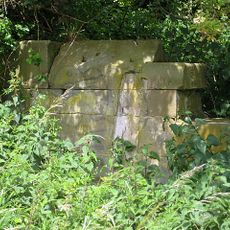
A pair of whale jawbones forms an arch marking the northern boundary of this town for over a hundred years. This unusual monument recalls the area's maritime past and is a curiosity that many visitors overlook.
Location: Leeds
GPS coordinates: 53.75526,-1.47364
Latest update: December 7, 2025 10:02
Oulton Hall
1.5 km
Holy Trinity Church, Rothwell, West Yorkshire
761 m
Church of St John the Evangelist
1.4 km
Church of All Saints
1.8 km
Swillington Bridge
2.5 km
Bridge Over Mill Stream To East Of Thwaite Mill With Retaining Wall On South Side Of Mill Race
3.1 km
Blackburn Hall
744 m
Rothwell Library
953 m
Clock Tower At St George's Hospital
1.8 km
Rothwell Infants School
1.1 km
Former Rothwell (Oulton) Church Of England Primary School
1.6 km
Rothwell Castle
842 m
Eashold Mansions
2 km
Long Acre
723 m
Rothwell War Memorial
696 m
Hazelwood Cottages
715 m
The Nookin
1.3 km
Warehouse, Office And Drying Floor To South East Of Thwaite Mill
3 km
Thwaite House
3.1 km
4 and 5 Bentley Square
1.4 km
2, Marsh Street
989 m
Stable To North Of Machine Shop To East Of Thwaite Mill
3.1 km
Carlton Hall Farmhouse
2.2 km
32-36, Commercial Street
780 m
Manor Farmhouse Including Number 19
1.6 km
Machine Shop To East Of Thwaite Mill
3.1 km
Gravestone Of John Blenkinsop Approximately 2 Metres North Of Tower Of Church Of The Holy Trinity
762 m
Robin Hood War Memorial, West Yorkshire
2.7 kmVisited this place? Tap the stars to rate it and share your experience / photos with the community! Try now! You can cancel it anytime.
Discover hidden gems everywhere you go!
From secret cafés to breathtaking viewpoints, skip the crowded tourist spots and find places that match your style. Our app makes it easy with voice search, smart filtering, route optimization, and insider tips from travelers worldwide. Download now for the complete mobile experience.
A unique approach to discovering new places❞
— Le Figaro
All the places worth exploring❞
— France Info
A tailor-made excursion in just a few clicks❞
— 20 Minutes