
Kempsey, village in Worcestershire, England
Location: Malvern Hills
Website: http://kempseyhub.co.uk
GPS coordinates: 52.13909,-2.21766
Latest update: March 20, 2025 06:19
Whittington Tump
4 km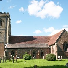
Church of St Peter and St Lawrence
3.1 km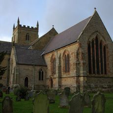
Church of St Mary
380 m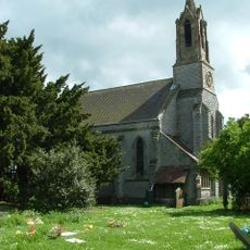
Church of St Philip and St James
4.6 km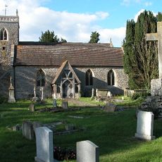
Church of St James
3.4 km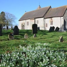
Church of St Peter
4 km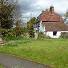
Church House
371 m
9, Upton Road
1.8 km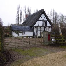
Kerswell Green Farmhouse
2.6 km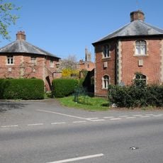
Pair Of Lodges To Stanbrook Abbey With Connecting Wall And Gatepiers
1.8 km
Norton juxta Kempsey War Memorial
3.4 km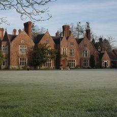
The Nash
1.7 km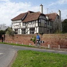
Cross House
3.2 km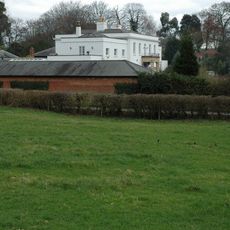
Kents Green Court
2.7 km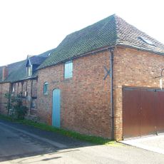
The Coach House
3.3 km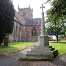
Kempsey War Memorial
332 m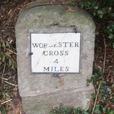
Milestone
1.8 km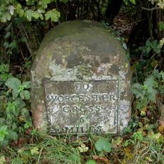
Milestone
2.5 km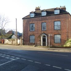
93, Worcester Road
203 m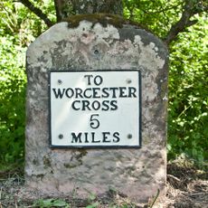
Milestone
2.4 km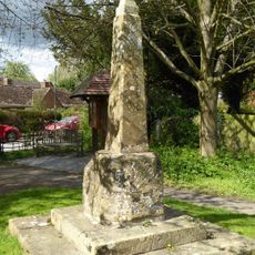
Churchyard cross in St Mary the Virgin's churchyard
390 m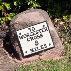
Milestone
2.9 km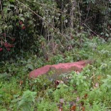
Milestone, Gallops Bridge; E of Birch Farm, 200yds S of turning to "Severn Stoke 1 Mile"
4 km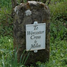
Milestone, Station Road, nr Narrow Wood, Wadborough, 20yds E of two bungalows
4.7 km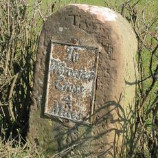
Milestone, S of railway bridge & entrance to Mockrell Farm
4.7 km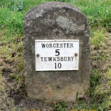
Milestone, Baynhall, on pull-in, 30m N of car sales garage
1.5 km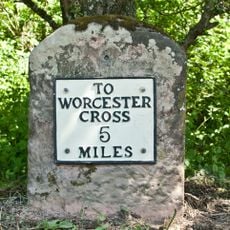
Milestone, Upton Road; Old Hills, opp S car park
2.4 km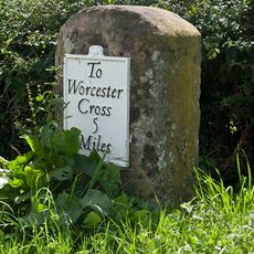
Milestone, S of Abbotswood
3.8 kmVisited this place? Tap the stars to rate it and share your experience / photos with the community! Try now! You can cancel it anytime.
Discover hidden gems everywhere you go!
From secret cafés to breathtaking viewpoints, skip the crowded tourist spots and find places that match your style. Our app makes it easy with voice search, smart filtering, route optimization, and insider tips from travelers worldwide. Download now for the complete mobile experience.

A unique approach to discovering new places❞
— Le Figaro
All the places worth exploring❞
— France Info
A tailor-made excursion in just a few clicks❞
— 20 Minutes