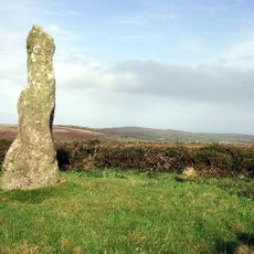
Tregeseal East stone circle, Stone circle in St Just, Cornwall, England.
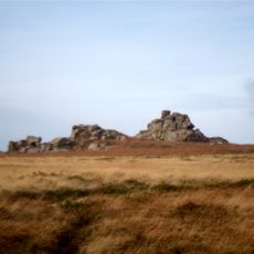
Tregeseal East is a stone ring comprising 19 granite stones arranged in a circle with a diameter of 21 meters, positioned near Carn Kenidjack on open moorland. The formation displays the typical layout of prehistoric ceremonial structures from this region.
The monument dates from the late Neolithic or early Bronze Age and was originally part of a larger configuration with three stone circles aligned from east to west. Only this remaining ring now survives from that ancient arrangement.
The stones are known locally as Meyn an Dons, a Cornish name meaning Stones of the Dance. This naming reflects how the ring has remained embedded in local storytelling for generations.
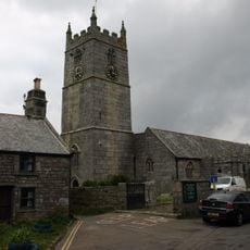
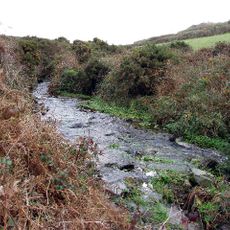
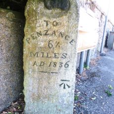
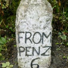
Access is via a path heading north from the Penzance to St Just road, which leads directly across open moorland to the site. The ground is open and accessible on foot, with no barriers or gates blocking the approach.
The eastern side of the ring maintains its original stone placement, while the western section has been reconstructed multiple times over the centuries. This contrast reveals how the structure has been shaped by erosion and human intervention over time.
Location: St Just
Website: https://cornishancientsites.com/ancient-sites/tregeseal-stone-circle
GPS coordinates: 50.13370,-5.65852
Latest update: December 12, 2025 12:06
St Just in Penwith Parish Church
1.8 km
Lower Bostraze and Leswidden SSSI
851 m
Boswens Menhir
1.5 km
Tregeseal holed stones
436 m
The Wellington Hotel
1.8 km
4, Church Street
1.8 km
The Star Inn
1.9 km
The Queen's Arms Inn
1.8 km
The Kings Arms Inn
1.8 km
Commercial Hotel
1.9 km
Church of St John the Baptist
1.9 km
War Memorial Clock Tower
1.9 km
Milestone Approximately 198M East Of Wheal Bal Farm
1.1 km
Milestone Approximately 323M West Of Higher Botrea
1.5 km
Guide Stone Opposite Junction Of Turnpike Road And A3071
1.5 km
St Just Mining District
609 m
Milestone At Sw397327
1.1 km
Guide Stone At Junction Of Pendeen And Trewellard Roads
1.2 km
Milestone 22M South-West Of Springs Bungalow
1.7 km
Milestone Approximately 28M S Of No. 1 Trenhare
1.7 km
Guide Stone At Junction Of A3071 And B3306
1.8 km
K6 Telephone Kiosk
1.8 km
Churchyard cross in St Just's churchyard, 10m west of the church
1.8 km
Churchyard Wall
1.8 km
Cross slab at parish church
1.8 km
6, Market Square
1.8 km
Guidestone About 100 Metres West Of Sancreed Turning
1.6 km
Wayside cross immediately north east of St John the Baptist's Church
1.9 kmVisited this place? Tap the stars to rate it and share your experience / photos with the community! Try now! You can cancel it anytime.
Discover hidden gems everywhere you go!
From secret cafés to breathtaking viewpoints, skip the crowded tourist spots and find places that match your style. Our app makes it easy with voice search, smart filtering, route optimization, and insider tips from travelers worldwide. Download now for the complete mobile experience.
A unique approach to discovering new places❞
— Le Figaro
All the places worth exploring❞
— France Info
A tailor-made excursion in just a few clicks❞
— 20 Minutes