Alsager, town and civil parish in Cheshire East, England
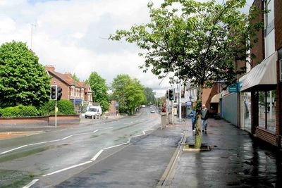
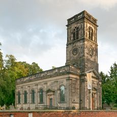
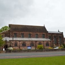
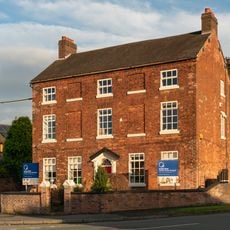
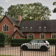
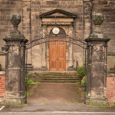
Alsager is a small town in Cheshire East, England, with a mix of older brick buildings and modern houses grouped around a quiet center with shops and cafes. The streets are manageable in size, and the town has a straightforward layout with several churches, including Christ Church from the late 1700s and St Mary Magdalene from the late 1800s.
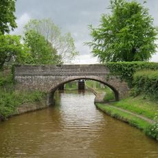
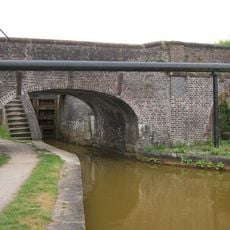
Alsager was originally a small farming village but developed significantly in the 1800s when the railway arrived. During World War Two, a large factory was built for weapons production, which accelerated growth and later served as a home for refugees from Eastern Europe.
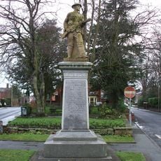
The name Alsager comes from three sisters who founded a school in the 1800s and shaped the town's identity. Today, community spirit shows in local events like the Alsager Carnival, where neighbors and visitors from surrounding villages gather together.
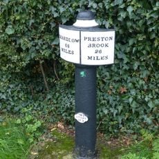
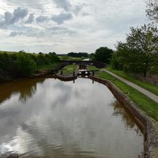
The town is well served by a railway station connecting to larger cities like Crewe and Derby, as well as regular bus services to nearby areas. The nearby M6 motorway makes it quick to arrive by car, while local parks and walkable paths make your stay comfortable.
Nearby are ancient Bronze Age burial mounds called Barrows that are over 3,000 years old and remind visitors of the area's earliest inhabitants. These archaeological sites show that the land around Alsager has been occupied since ancient times and holds deep historical layers.
The community of curious travelers
AroundUs brings together thousands of curated places, local tips, and hidden gems, enriched daily by 60,000 contributors worldwide.