
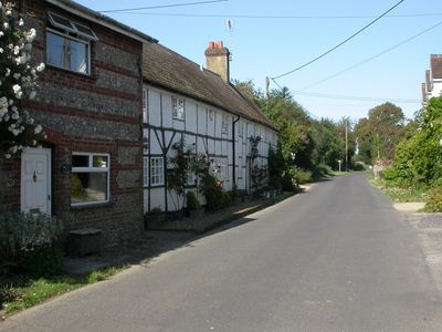
Damerham, village in United Kingdom
Location: New Forest
Website: https://damerham.net
GPS coordinates: 50.94378,-1.85373
Latest update: March 8, 2025 04:31
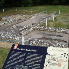
Rockbourne Roman Villa
1.9 km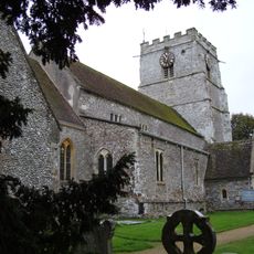
Cranborne Priory
5.7 km
Whitsbury Castle
4.4 km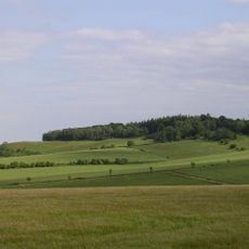
Knoll Camp
2.5 km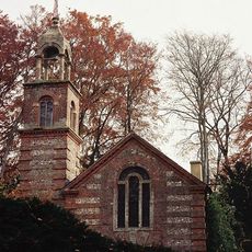
St Aldhelm's Chapel
4.4 km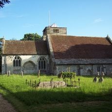
Church of St George
450 m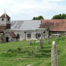
Church of St Andrew
2.6 km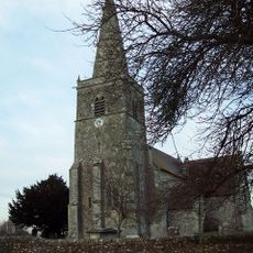
Church of All Saints
4.8 km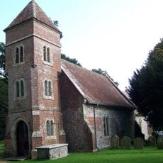
Church of St Leonard
4 km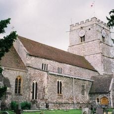
Church of St Mary and St Bartholomew
5.7 km
Church of St James
3.4 km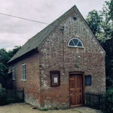
Baptist Chapel
2.3 km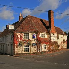
Fleur-De-Lys Inn
5.6 km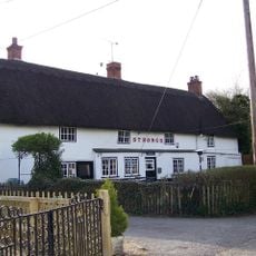
Rose And Thistle Public House
2.5 km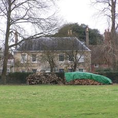
Fryern Court
3.9 km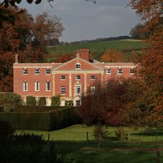
Cranborne Lodge
5.6 km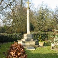
Damerham War Memorial
154 m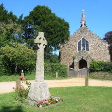
Alderholt War Memorial Cross
3.5 km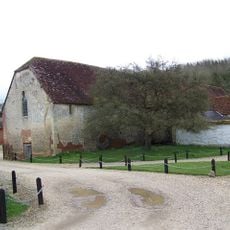
Large Barn 50 Metres North East Of Manor House
2.6 km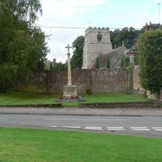
Cranborne War Memorial
5.6 km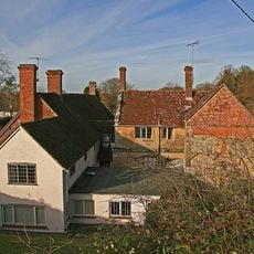
Manor Farm And Wall Running North East
2.6 km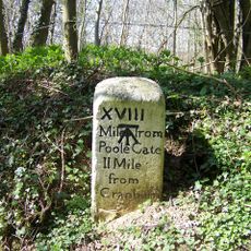
Milestone
4 km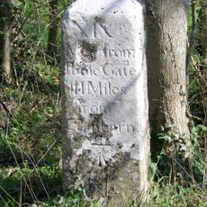
Milestone Opposite Junction With Track To Kites Nest Farm
3.7 km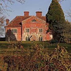
Court Farm House
616 m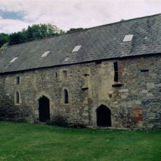
Barn Formerly Chapel 20 Metres East of Manor House
2.6 km
Milestone, Blackheath Down; 10m N of crossroads with major bridleway - Stony Lane.
3.7 km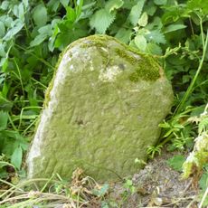
Milestone, Tidpit, opp. Keeper's Cottage
3.9 km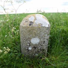
Milestone, Toyd Down; 1km N of Knap Barrow Farm
4.4 kmVisited this place? Tap the stars to rate it and share your experience / photos with the community! Try now! You can cancel it anytime.
Discover hidden gems everywhere you go!
From secret cafés to breathtaking viewpoints, skip the crowded tourist spots and find places that match your style. Our app makes it easy with voice search, smart filtering, route optimization, and insider tips from travelers worldwide. Download now for the complete mobile experience.

A unique approach to discovering new places❞
— Le Figaro
All the places worth exploring❞
— France Info
A tailor-made excursion in just a few clicks❞
— 20 Minutes